SiMON FRASER UNIVERSITY
?
_ L
O
?
S**, 7 ?
/7
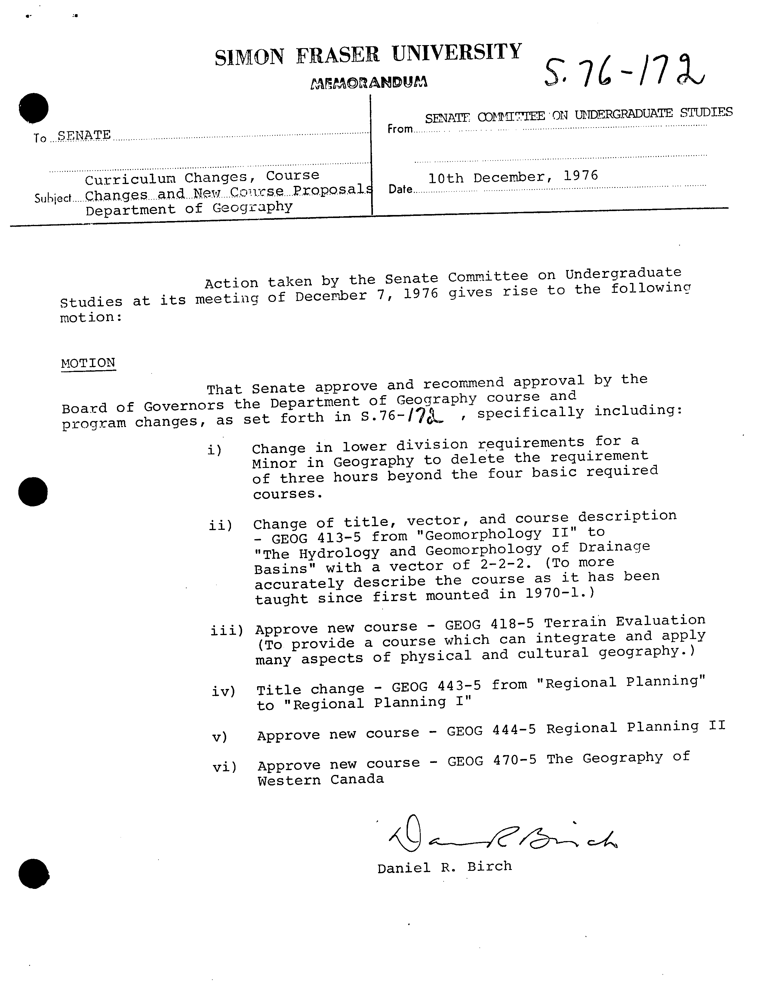
SENATE CDITIEE ON UNDERGRNJUATE STUDIES
To
..SENTE
.......................................................................................................From..............
Curriculum Changes, Course
?
10th December, 1976
Subject ?
Changes....
and. ..New .... C.ors.e .... proposal.
?
Date
.........................................................................................
Department of Geography
Action taken by the Senate Committee on Undergraduate
Studies at its meeting of December 7, 1976 gives rise to the following
motion:
MOTION
That
Senate approve and recommend approval by the
Board of Governors the
Department of Geography course and
forth in
s.76-17
?
,
specifically including:
program changes, as
set
i)
Change in lower division requirements for a
Minor in Geography to delete the requirement
of three hours beyond the four basic required
.
courses.
ii)
Change of title, vector, and course description
- GEOG 413-5 from "Geomorphology II" to
"The Hydrology and Geomorphology of Drainage
Basins" with a vector of 2-2-2.
?
(To more
accurately describe the course as it has been
taught since first mounted in 1970-1.)
iii)
Approve new course - GEOG 418-5 Terrain Evaluation
(To provide a course which can integrate and apply
many aspects of physical and cultural geography.)
iv)
Title change - GEOG 443-5 from "Regional Planning"
to "Regional Planning I"
v)
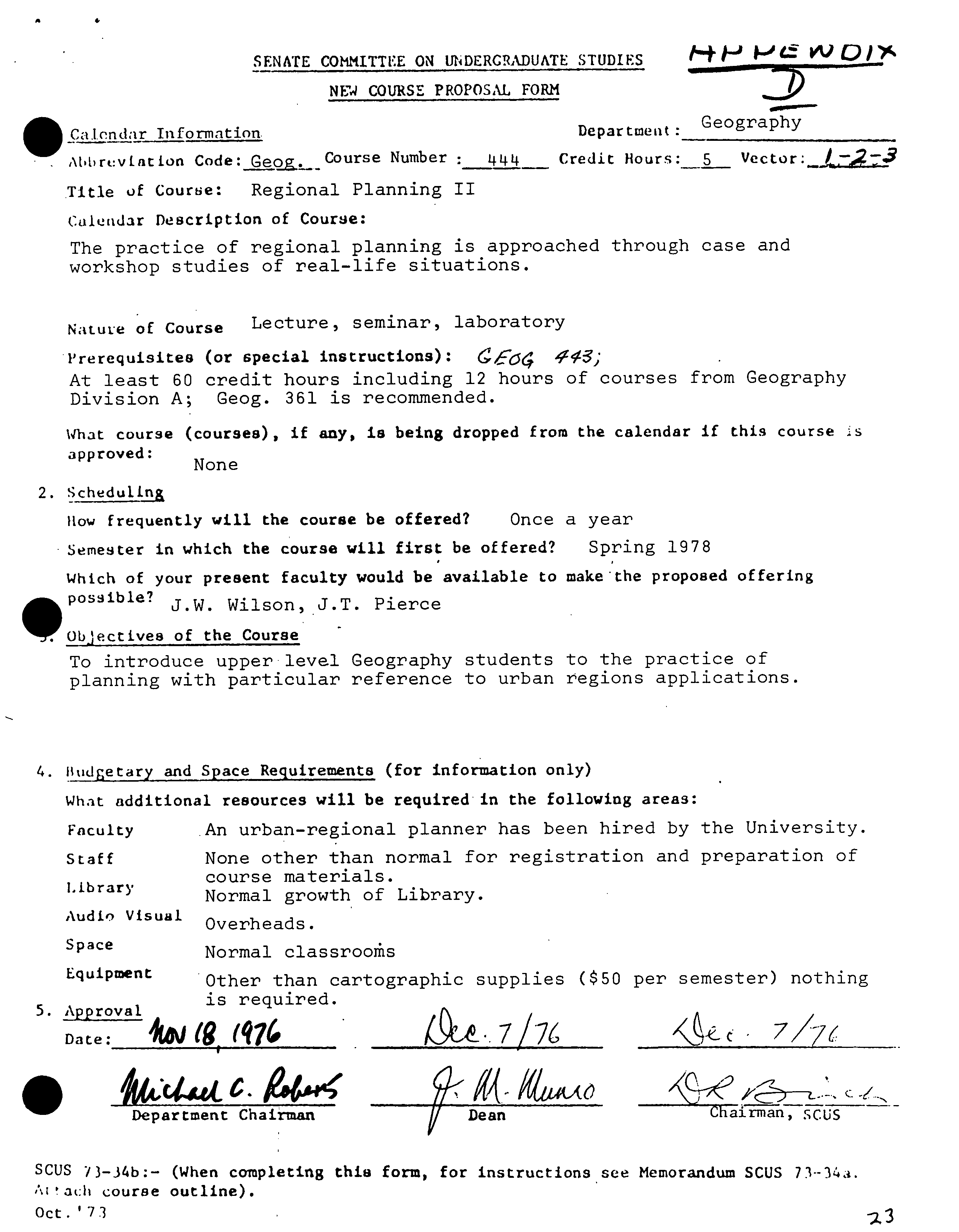
Approve new course - GEOG 444-5 Regional Planning II
vi)
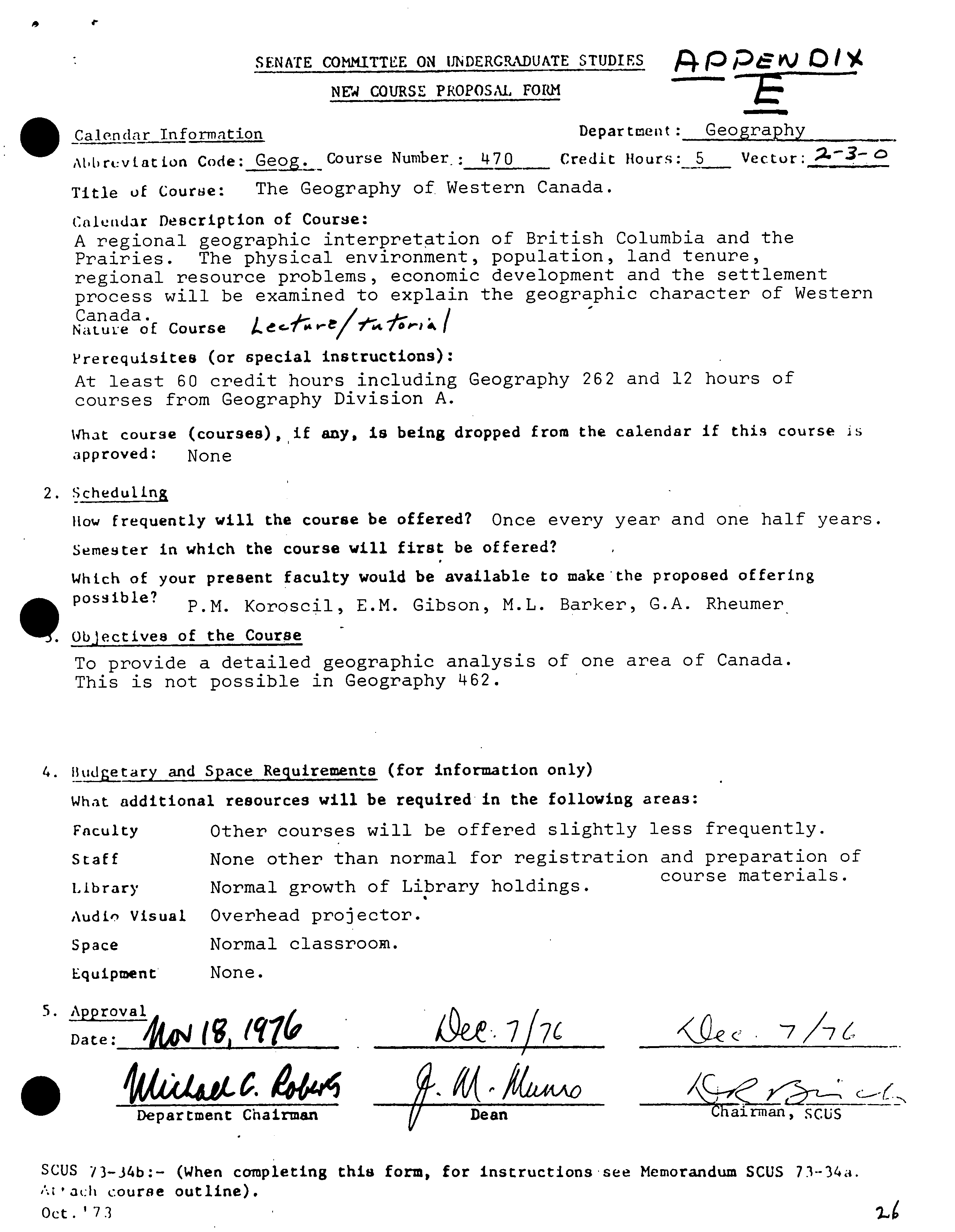
Approve new course - GEOG 470-5 The Geography of
Western Canada
Daniel R. Birch
SIMON FRASER UNIVERSITY
S
C
14J
76'
—So
S
?
MEMORANDUM
Mr. H. Evans
From ............
Sheila. Roberts.,....Sc.re.ta...y................
....
,
Secretary
?
Faculty of Arts Curriculum
..........
.................Committee........................................................................
u
Subject........
Changes
Curriculum .ç. New
.g.,cp.s.e
Course Pro
posal
?
.Daf.
.....
?
December....1 ... .... .1.9...S ......... ...............
......... ...
..........
and
Ceegrapy
The Faculty of Arts Curriculum Committee at recent meetings approved
the attached changes in regulations, courses, and New Course
Proposals for the Department of Geography. Would you please put
these on the next agenda of S.C.U.S.
Thank you.
SR:ET
atts.
0
7
Sus
FACULTY OF ARTS' CALENDAR SUBMISSION
?
c0
1977-78
DEPARTMENT OF GEOGRAPHY -
C(.) I.
kRSE 4 It
O
.
P. i28
MINORScourse
Lower
?
divisionroquiroments
??
121_3,
selected
CHANGE
141-3,
IN
from
REQUThEMENTS:
the
250-3
other
and
100
3
FROM
additional
and 200
"
GEOG
division
hours
I11-3
?
courses in Geography.
TO GEOG 111_3, 121_3, 141-3, and
250_3.
RATIONALE: It has been found that the
requirement of three additional lower d1vI6o
hours is unnecessaa'y. The four required courses
provide the core material for the upper division.
The student taking a minor normally prefers to
take upper division courses and the removal o f
this requirement simply adds a little additional
flexibility.
Im
--
.
p.
134
?
GEOG 4135
TITLE CHANGE: FROM
1
Geomorphology un
TO " The krdrology and Geomorphology of
Drainage Basins
CHANGE
FD
ESCRIPTION: FROM " The appreciation
of statistical and other methodologies in the
examination of theoretical and applied problems
in landform analysis.
TO " The morphology and evolution of drainage
basins; analysis of surface and subsurface
flow in the drainage basin; stream-hiflslop0
erosion and sedimentation."
CHANGE OF NATURE
OF
-
THE
-
COURSE: FROM
"Lecture/seminar
TO " Lecture/Seminar/ Laboratory"
?
2 -
2 Z
7L;( ?
7L (*.
?
142
il? 6#MC ?
'177%
çj•1,407
L
7`_-Zle
/r
°41it:
t*-1h
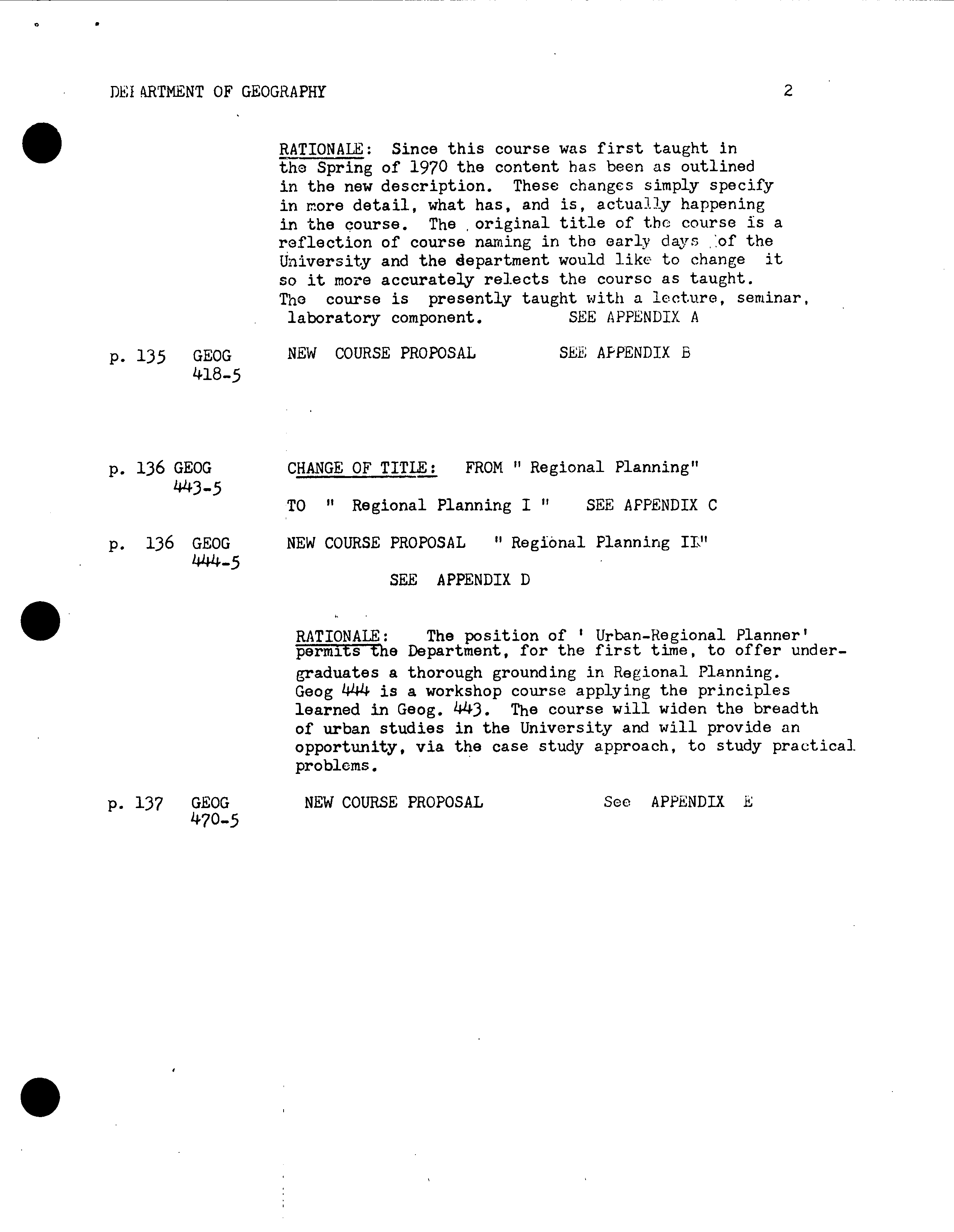
DEIkRTMENT OF GEOGRAPHY
?
2
P.
135
GEOG
418-5
RATIONALE: Since this course was first taught in
the Spring of
1970
the content has been as outlined
in the new description. These changes simply specify
in more detail, what has, and is, actually happening
in the course. The original title of the course is a
reflection of course naming in the early days of the
University and the department would like to change it
so it more accurately relects the course as taught.
The course is presently taught with a lecture, seminar,
laboratory component.
?
SEE APPENDIX A
NEW COURSE PROPOSAL ?
SEE APPENDIX B
CHANGE OF TITLE: FROM " Regional Planning"
TO " Regional Planning I "
?
SEE APPENDIX C
NEW COURSE PROPOSAL " Regional Planning II"
SEE APPENDIX D
RATIONALE: ?
The position of I Urban-Regional Planner'
permits the Department, for the first time, to offer under-
graduates a thorough grounding in Regional Planning.
Geog
444
is a workshop course applying the principles
learned in Geog.
443.
The course will widen the breadth
of urban studies in the University and will provide an
opportunity, via the case study approach, to study practical-
problems.
P. 136
GEOG
443-5
P. 136
GEOG
444-5
P. 137
GEOG ?
NEW COURSE PROPOSAL
?
See APPENDIX E
470-5
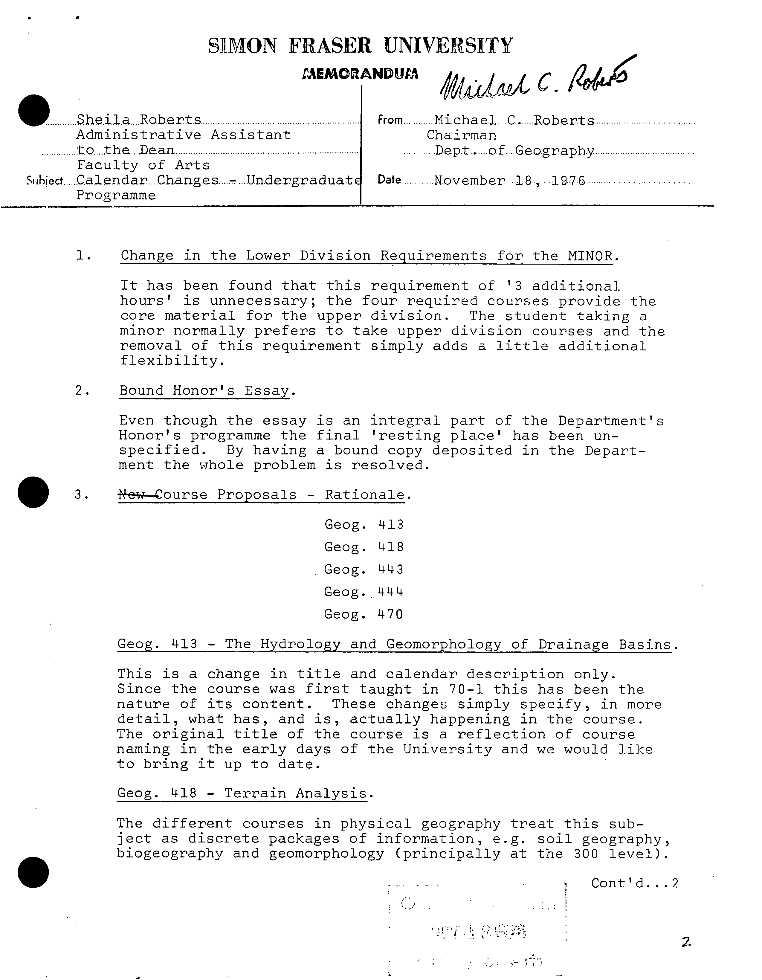
S}MON FRASER UNIVERSITY
LMMOANDUM
?
C.
AAJ9b*****
From
............
Michael
. C... Roberts
Chairman
Dep.t . of....Gec.gra.ph
Date ...... ....
.
.
November .... 1.8... .... .19.7.6 ............................ ... ....
Sheila .... Rob.ert.. ............
........................
Administrative Assistant
.........
to .... the .... Dean .....................................................................
Faculty of Arts
Subject .....
.a1endar....Changes
?
Un.de.rg.radua:
Programme
1. Change in the Lower Division Reauirements for the MINOR.
It has been found that this requirement of
1
3 additional
hours' is unnecessary; the four required courses provide the
core material for the upper division. The student taking a
minor normally prefers to take upper division courses and the
removal of this requirement simply adds a little additional
flexibility.
2. Bound Honor's Essay.
Even though the essay is an integral part of the Department's
Honor's programme the final 'resting place' has been un-
specified. By having a bound copy deposited in the Depart-
ment the whole problem is resolved.
?
0
3. ?
e-w----Course Proposals - Rationale.
Geog. '413
Geog. '418
Geog. 1443
Geog.
Geog. 470
Geog. 413 - The Hydrology and Geomorphology of Drainage Basins.
This is a change in title and calendar description only.
Since the course was first taught in 70-1 this has been the
nature of its content. These changes simply specify, in more
detail, what has, and is, actually happening in the course.
The original title of the course is a reflection of course
naming in the early days of the University and we would like
to bring it up to date.
Geog. 418 - Terrain Analysis.
The different courses in physical geography treat this sub-
ject as discrete packages of information, e.g. soil geography,
• ?
biogeography and geomorphology (principally at the 300 level).
Cont'd...2
2
Shcila Roberts ?
- 2 -
?
November 18, 1976
Geo
g
. 418 - Cont'd.
Terrain evaluation (418) gives the student an opportunity to
inter-relate all these different fields of study. The
success of Terrain Evaluation depends upon an appreciation
of the complex interaction between soils, vegetation and
landform, and the interpretation of the evaluation for
multiple-choice land-use requires an adequate background in
the various fields of cultural geography. Terrain evalua-
tion is one of unified field courses coming near the end of
a geography degree curriculum. This course is ideal for
these students intending to enter environmental work.
Geog. 443 - Regional Planning I
Title change only. The old title was Regional Planning.
Geog. 444 - Regional Planning II
The position of 'Urban-Regional Planner' permits the Depart-
ment, for the first time, to offer undergraduates a thorough
grounding in Regional Planning. Geog. 444 is a workshop
course applying the principles learned in Geog. 443. The
• ?
course will widen the breadth of urban studies in the
University and will provide an opportunity, via the case
study approach, to study practical problems.
Geog. 470 - The Geography of Western Canada
The Department has never offered a course examining the
evolution and structure of the local region and this course
fills the gap. Many students have expressed interest in
gaining a better understanding of the local area. There is
considerable faculty interest in the course.
MCR/mgb
Attch.
.
3
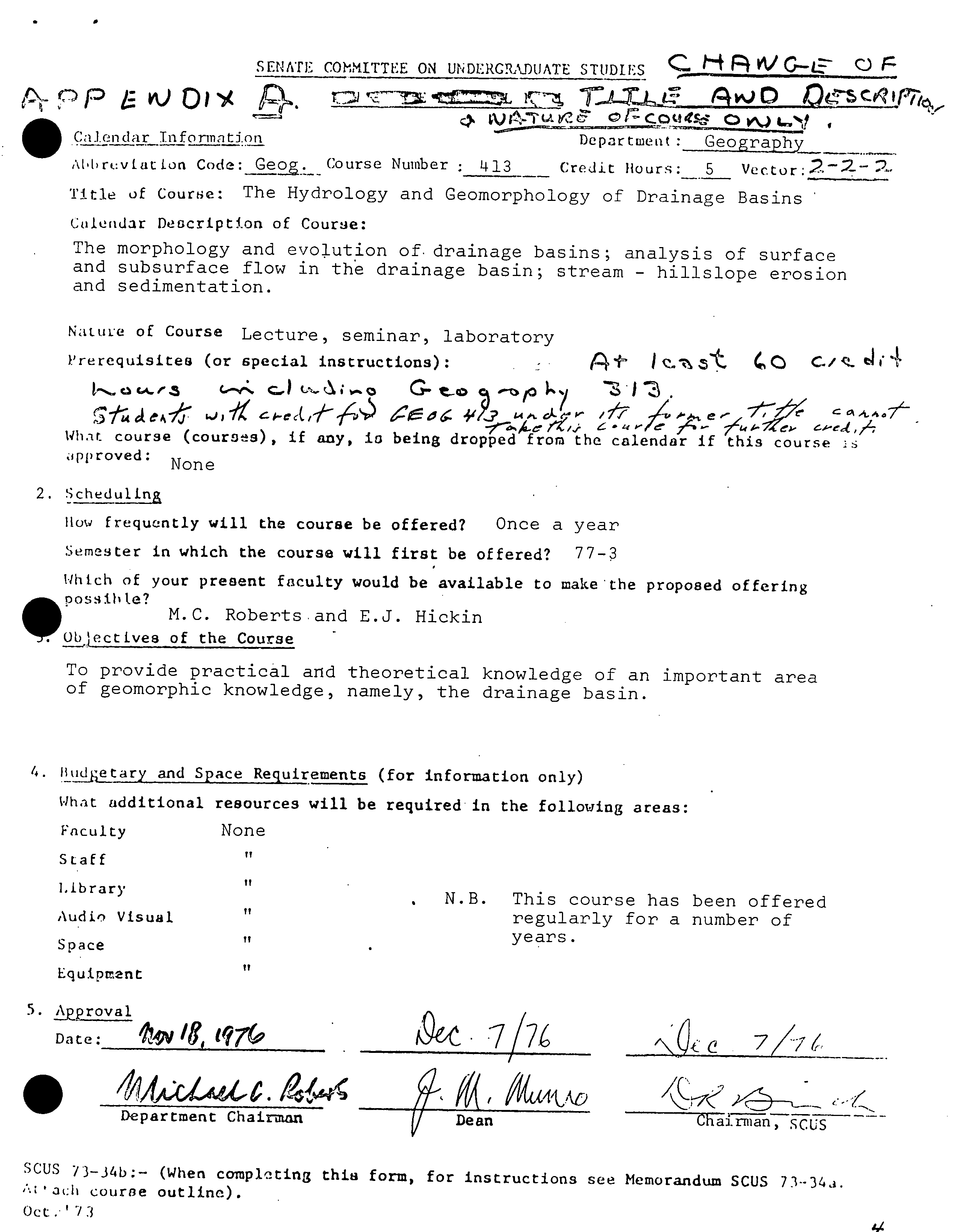
SENATE Cffl*IITTEE ON UNDERCADUATE STUDIES
i
?
Os
?
IC
.
?
r%
U ?
LJ
CO4S
?
AD
0 )
Calendar Ti-iforinntion
?
Departneut :.
Geography
At1>r&:v[atLon Code:
Ge.
Course Number :413 -
Credit
Hours: ?
5
Title
of
Course:
The Hydrology and Geomorphology of Drainage Basins
Calendar Description of Course:
The morphology and evolution of drainage basins; analysis of surface
and subsurface flow in the drainage basin; stream - hilislope erosion
and sedimentation.
NatuLe
of Course
Lecture, seminar, laboratory
Prerequisites
(or special instructions):
Pi
CO ?
C,
cr.s
G-to
e t ,
a
/ ?
fr ?
e
Cc ?
7- - /'
e,-e4
A
What
?
course (couros),
if any, is
being dropped
from
the
calendar if this
course
.ipproved: ?
None
2. Schedu1Ln
1Io' frequently will
the
course be offered?
?
Once a year
Semester in which the course will first be offered?
77-3
Which of
your present faculty would be available to make the proposed offering
0possilite?
M.C. Roberts.and E.J. Hickin
ObectLves of the Course
To provide practical and theoretical knowledge of an important area
of geomorphic knowledge, namely, the drainage basin.
4. 11tjztary
and Space Requirements (for information only)
What
additional resources will be required in the following areas:
Faculty ?
None
Staff
Library ?
H
Audi',
Visual.
Space ?
'I
Equipment
S.
?
prova1
Date:
OWiq7
•
Department Chairman
• N.B. This course has been offered
regularly for a number of
years.
7/7
1
?
g- g,
?
4tAo
?
Dean
?
Chaf J
SCUS 73-34b:-
course outline).
(When cornplting
this
form, for instructions
see
Memorandum SCUS
73--34i.
Oct. '?3
Depa:tment of Geography
Simo: Fraser University
Geography 41X-5
M.C. Roberts
S
Course Outline
?
THE HYDROLOGY AND GEOMORPHOLOGY OF DRAINAGE BASINS
This course is designed to provide empirical and conceptual
knowledge of one of the most important elements of the physical
landscape - the drainage basin. The lectures will be complemented
by field trips, laboratory work and independent work on two instru-
mental drainage basins in Surrey.
Weekly Lecture Themes
?
Laboratory Sessions
1.
Review of the Hydrological
?
The definition of drainage
Cycle and Classical Fluvial basins on topographic maps and
Geomorphology.
?
drainage nets.
2.
Continuation of the above.
?
Identification of floodplains
and floodplain features.
3.
Measurement and Analysis of Calculation of discharge using
Surface Water Flow in a
?
a current meter.
Drainage Basin.
.
Continuation of the above
with emphasis on Flood Flows
S.
Subsurface Flow.
6.
The Morphometric Analysis
of Drainage Basins.
. 7.
Hydraulics of Streams.
8.
Deposition and Sedimenta-
tion in a River Basin.
9.
Erosional Processes -
Stream channel.
10.
Erosional ProOesses -
Drainage basin slopes.
11.
Dxainage Basin Chronology.
12.
Land Use and Drainage
Basins.
Analysis of Flood Flows.
Field trip.
Morphometric Analysis of
Selected Drainage Basins.
Flume.
Air photo interpretation of
floodplains and associated
deposits.
Surrey Projects.
Surrey Project.
Surrey Project.
Field trip.
Grading
This will be based on the following schedule:
Laboratory work
?
field reports
?
15%
Mid-term Examination
?
30%
Final Examination
Short term paper
?
15%
T-1-
The required text is:
40
K.J. Gregory C D.E. Walling, Drainage Basin, Form and
Process, J. Wiley C Sons (Halsted Press), 1973.
c
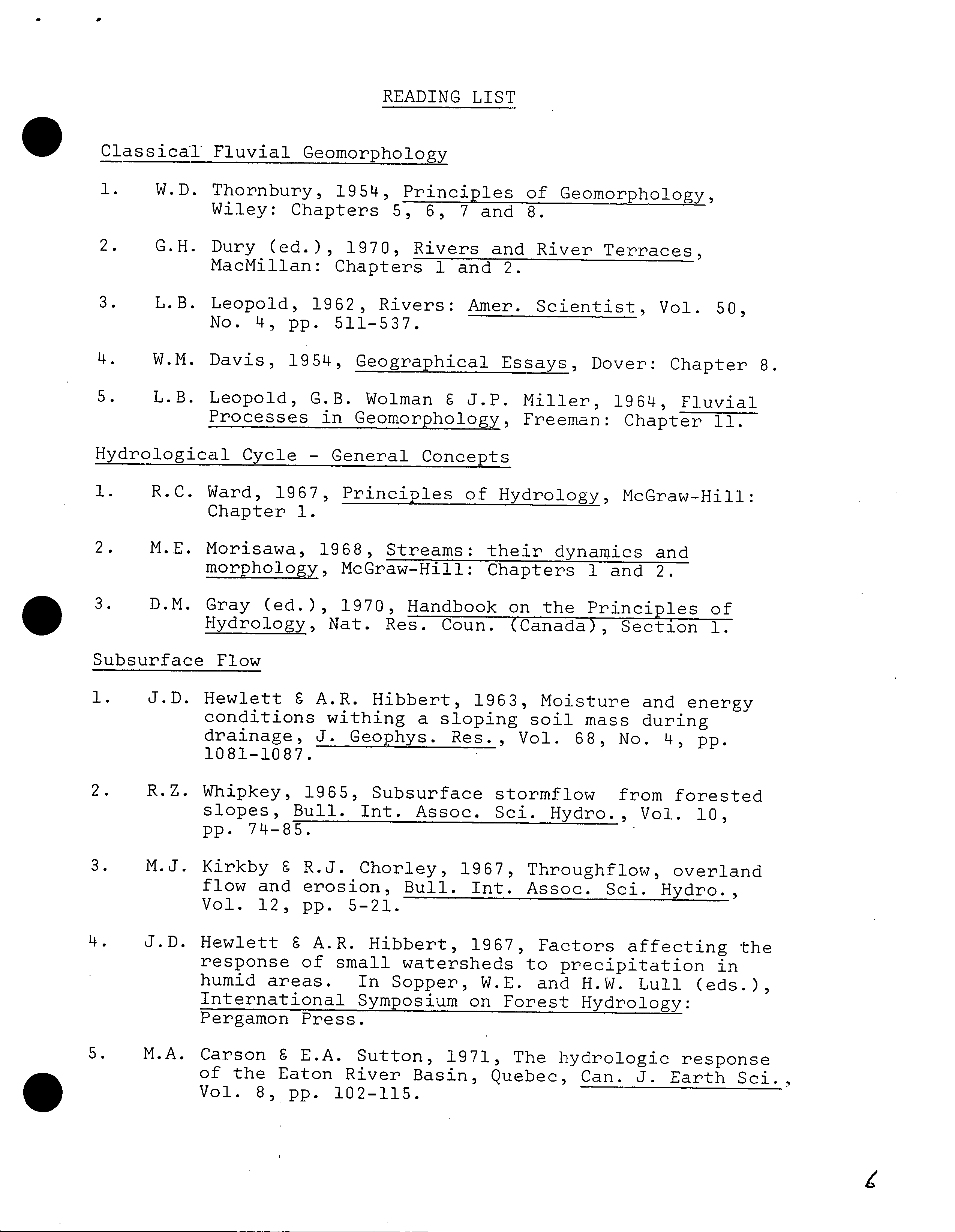
READING LIST
.
is
Classical Fluvial Geomorphology
1.
W.D. Thornbury, 1954, Principles of Geomorphology,
Wiley: Chapters 5, 6, 7 and 8.
2.
G.H. Dury (ed.), 1970, Rivers and River Terraces,
MacMillan: Chapters 1 and 2.
3.
L.B. Leopold, 1962, Rivers: Amer. Scientist, Vol. 50,
No. 4,
pp.
511-537.
4.
W.M. Davis, 1954, Geographical Essays, Dover: Chapter 8.
5.
L.B. Leopold, G.B. Wolman C J.P. Miller, 1964, Fluvial
Processes in Geomorphology, Freeman: Chapter 11.
Hydrological Cycle - General Concepts
1.
R.C. Ward, 1967, Principles of Hydrology, McGraw-Hill:
Chapter 1.
2.
M.E. Morisawa, 1968, Streams: their dynamics and
morphology, McGraw-Hill: Chapters 1 and 2.
3.
D.M. Gray (ed.), 1970, Handbook on the Principles of
Hydrology, Nat. Res. Coun. (Canada), Section 1.
Subsurface Flow
1.
J.D. Hewlett C A.R. Hibbert, 1963, Moisture and energy
conditions withing a sloping soil mass during
drainage, J. Geophys. Res., Vol. 68, No. 4, pp.
1081-1087.
2.
R.Z. Whipkey, 1965, Subsurface stormflow from forested
slopes, Bull. mt. Assoc. Sci. Hydro., Vol. 10,
pp.
74-85.
3.
M.J. Kirkby C R.J. Chorley, 1967, Throughf low, overland
flow and erosion, Bull. mt. Assoc. Sci. Hydro.
Vol. 12,
pp.
5-21.
4.
J.D. Hewlett C A.R. Hibbert, 1967, Factors affecting the
response of small watersheds to precipitation in
humid areas. In Sopper, W.E. and H.W. Lull (eds.),
International Symposium on Forest Hydrology:
Pergamon Press.
5.
M.A. Carson C E.A. Sutton, 1971, The hydrologic response
• ?
of the Eaton River Basin, Quebec, Can. J. Earth Sd.
Vol. 8,
pp.
102-115.
2.
• ?
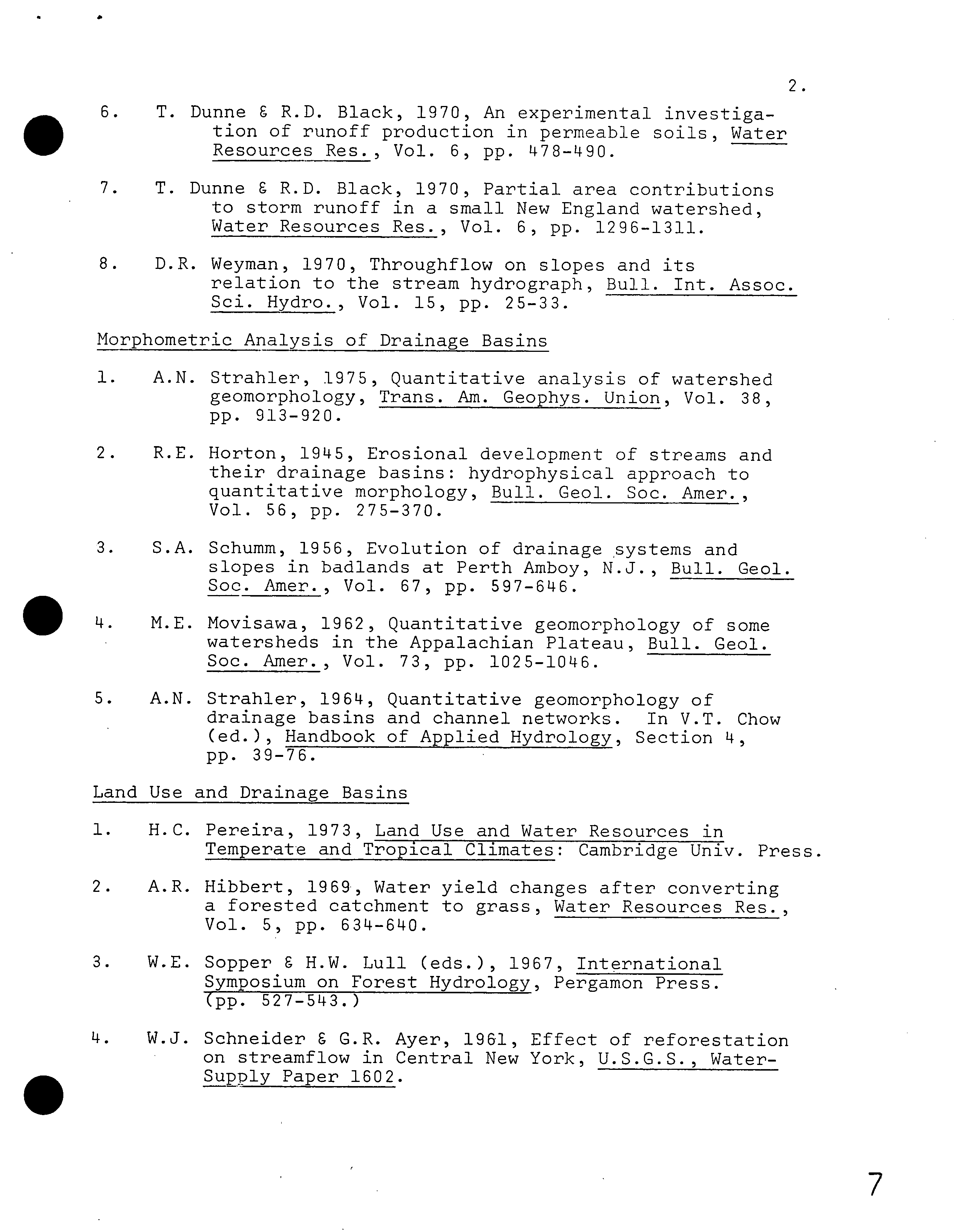
6. ?
T. Dunne I R.D. Black, 1970, An experimental investiga-
tion of runoff production in permeable soils, Water
Resources Res., Vol. 6, pp. 478490.
7.
T. Dunne 9 R.D. Black, 1970, Partial area contributions
to storm runoff in a small New England watershed,
Water Resources Res., Vol. 6,
pp.
1296-1311.
8.
D.R. Weyman, 1970, Throughf low on slopes and its
relation to the stream hydrograph, Bull. mt. Assoc.
Sci. Hydro., Vol. 15,
pp.
25-33.
Morphometric Analysis of Drainage Basins
1.
A.N. Strahler, 1975, Quantitative analysis of watershed
geomorphology, Trans. Am. Geophys. Union, Vol. 38,
pp.
913-920.
2.
R.E. Horton, 1945, Erosional development of streams and
their drainage basins: hydrophysical approach to
quantitative morphology, Bull. Geol. Soc. Amer.
Vol. 56,
pp.
275-370.
3.
S.A. Schumm, 1956, Evolution of drainage systems and
slopes in badlands at Perth Amboy, N.J., Bull. Geol.
Soc. Amer., Vol. 67, pp. 597-646.
?
ist.
?
M.E. Movisawa, 1962, Quantitative geomorphology of some
watersheds in the Appalachian Plateau, Bull. Geol.
Soc. Amer., Vol. 73,
pp.
1025-1046.
?
S.
?
A.N. Strahler, 1964, Quantitative geomorphology of
drainage basins and channel networks. In V.T. Chow
(ed.), Handbook of Applied Hydrology, Section
14,
pp.
39-76.
Land Use and Drainage Basins
1.
H.C. Pereira, 1973, Land Use and Water Resources in
Temperate and Tropical Climates: Cambridge Univ. Press.
2.
A.R. Hibbert, 1969, Water yield changes after converting
a forested catchment to grass, Water Resources Res.,
Vol. 5,
pp.
634-640.
3.
W.E. Sopper a H.W. Lull (eds.), 1967, International
Symposium on Forest Hydrology, Pergamon Press.
(pp. 527-543.)
4.
W.J. Schneider & G.R. Ayer, 1961, Effect of reforestation
on streamfiow in Central New York, U.S.G.S., Water-
Supply Paper 1602.
7
.
5. A.R. Hibbert, 1971, Increases in
verting Chaparral to grass,
Vol. 7, No. 1,
pp.
71-80.
3.
streamflow after con-
Water Resources Res.
.
0
6.
K.J. Gregory, 1974, Streamfiow and building activity. In
K.J. Gregory and D.E. Walling, Fluvial Processes in
Instrumented Watersheds, Special Pub., No. 6, Inst.
Brit. Geog.
7. M.C. Roberts, 1972, Watersheds in the rural-urban fringe,
Nat. Symposium on Watersheds in Transition, A.W.R.A.,
Ft. Collins, Cob.
Drainage Basin Chronology
1.
W.M. Davis, 1954, Geographical Essays, Dover: Chapter 8.
2.
R.V. Ruhe 8 J.G. Cady, 1967, Landscape evolution and soil
formation in southwestern Iowa, Tech. Bull. 1349,
U.S.D.A., Soil Conservation Service.
3.
R.B. Daniels 8 R.M. Jordan, 1966, Physiographic history
and the soils, entrenched stream systems, and
gullies, Harrison County, Iowa, Tec Bull. 13148,
U.S.D.A., Soil Conservation Service.
14. ?
J.T. Hack, 1960, Interpretation of erosional topography
in humid temperate regions, Amer. J. Sc. , Vol. 258A,
pp.
80-97.
5.
J.T. Hack 8 J.C. Goodlett, 1960, Geomorphology and forest
ecology of a mountain region in the Central
Appalachians, U.S.G.S., Prof. Paper 3147.
6. M.E. 'Morisawa, 1964, Development of drainage systems on
an upraised lake floor, Amer. J. Sc., Vol. 262,
pp. 340-3514.
7. S.A. Schumm, 1965, Quaternary Paleohydrobogy. In
H.E. Wright 8 D.G. Frey (eds.), The Quaternary of
the United States, Princeton Univ. Press.
Erosional and De
p
ositional Processes - Stream Channels
1.
A. Sundborg, 1956, The river Klavlven, a study of
fluvial processes, Geog. Annaler, Vol. 38,
pp.
127-316.
2.
L.B. Leopold 6 T. Haddock, 1953, The hydraulic geometry
of stream channels and some physiographic implica-
tions, U.S.G.S., Prof. Paper 252.
4.
. ?
3. ?
L.B. Leopold C J.P. Miller, 1956, Ephemeral streams -
hydraulic factors and their relation to the drain-
age net, U.S.G.S., Prof. Paper 282A.
4.
L.B. Leopold C M.G. Wolman, 1957, River channel patterns -
braided, meandering, and straight, U.S.G.S. , Prof.
Paper 282B.
5. J.R.L. Allen, 1970, Physical Processes of Sedimentation,
Amer. Elsevier.
6. J.R.L. Allen, 1965, A review of the origin and character-
istics of recent alluvial sediments, Sedimentology,
Vol. 5, No. 2,
pp.
89-191.
Erosional and Depositional Processes - Drainage Basin Slopes
1. M.A. Carson C M.J. Kirkby, 1972, Flilislope, Form and
Process, Cambridge Univ. Press: Chapter 16.
2.
R.F. Hadley C G.C. Lusby, 1967, Runoff and hillslope
erosion resulting from a high-intensity thunder-
storm near Mack, western Colorado, Water Resources
Res., Vol. 3,
pp.
139-146.
is ?
and
L.B. Leopold, W.W. Emmett C R.W. Myrick, 1966, Channel
and hillslope processes in a semi-arid area, New
Mexico, U.S.G.S. , Prof. Paper 352G.
Surface Flow - Measurement and Analysis
1.
M.C. Roberts C P.C. Klingeman, 1970, The influence of
landform and precipitation parameters on flood
hydrographs, J. Hydrol. , Vol. 11,
pp.
393-411.
2.
M. Church C R. Kellerhals, 1970, Stream gauging techni-
ques for remote areas using portable equipment,
Tech. Bull. 25, Inland Waters Branch, Dept. of
Energy, Mines and Resources.
3.
S.T. Wong, 1963,A multivariate statistical model for
predicting mean annual flood in New England, Annals
Assoc. Amer. Geog., Vol. 53,
pp.
298-311.
4.
U.S. Depart. of Interior, 1967, Water Measurement Manual,
Bureau of Reclamation, U.S.D.I.
5.
Techniques of Water-Resources Investigations of the United
States Geological Survey. Various dates.
0
7
5.
• Research Watersheds
1.
R.C. Ward, 1971, Small watershed experiments: an
appraisal of concepts and research developments,
Univ. of Hull, Occasional Papers in Geography 18.
2.
U.S. Dept. of Agriculture, 1964, Stream-gauging stations
for research on small watersheds, U.S.D.A. , Forest
Service, Agricultural Handbook 268.
3.
W.C. Ackermann, 1966, Guidelines for Research on
Hydrology of Small Watersheds, U.S.D.I., Office of
Water Resources Res.
4.
Can. National Comm. for mt. Hydrol. Decade, 1966, Guide-
lines for Research Basin Studies, Nat. Workshop
Seminar Proceedings.
5.
Colorado State University, 1967, Research Data Assembly
for Small Watershed Floods Part II, General Series
856, C.S.U. , Expt. Station.
.
.
I,
)LM £ L. ..UL1ilL I. £ Li..
u. ?
vi )i.L
?
cuuiJ
NEW
COURSE PROPOSM.
FORM
)
Caj
p
ndar Information
?
Departiieut:
Geography
Code: Geog.
Course
Number,
?
4
18 ?
Credit
h
o
ur-
,
;;
h
?
Vector
:2.
3
Title
of Courte: Terrain Evaluation
Calendar
Description of Course:
The extensive classification of,a landscape based an geology, geomorpho-
logy, soils, vegetation and historic and current land-use, and the
assessment of qualitative values as an aid to multiple land-use manage-
ment.
Nature
of Course 2 hour class, plus three hours per week for field work
and its analysis (currently based on the U.B.C. Research
Prerequisiteo (or special instructions):
?
Forest).
r"-- ?
o ?
c,.,s ?
313,
315 and 317
What
course (courses),
if
any,
is being dropped from the calendar if this course Js
approved:
None
2. Scheduling
)Io.i frequently will the course be offered?
Once every 4 or 5 semesters
Semester in which the course will first be offered?
Fall 1977
Which of your present faculty would be available to make the proposed offering
possible?
Ban, M.C. Roberts
JJJJPF^^ I
,ectives of the Course
To bring all physical geography courses, and several elements of
cultural geography, together within one, coherent application
with practical implications.
4. Utidetary
and
Space Requirements (for information only)
What additional reoources will be required in the folloiri areas:
Faculty ?
Faculty will offer other courses less frequently.
Staff ?
That is normal for any course (registration, etc.).
Library ?
Most of journals and other resources alread
y
available.
Audio Visual ?
None.
Space
?
Labs. available.
Equipment ?
Maps and air photographs ($350).
5. Approval.
Date: ?
Igo 76
etL
C .
I^
?
1q/(
?
:;-
-
Department
Chairman ?
Dean ?
(JllairUlLlfl,
SCUS
SCUS
i3-34b:- (When completing this
form,
for instructions see
Memorandum
SCUS 73--34a.
course
outline).
Oct.
'13
S
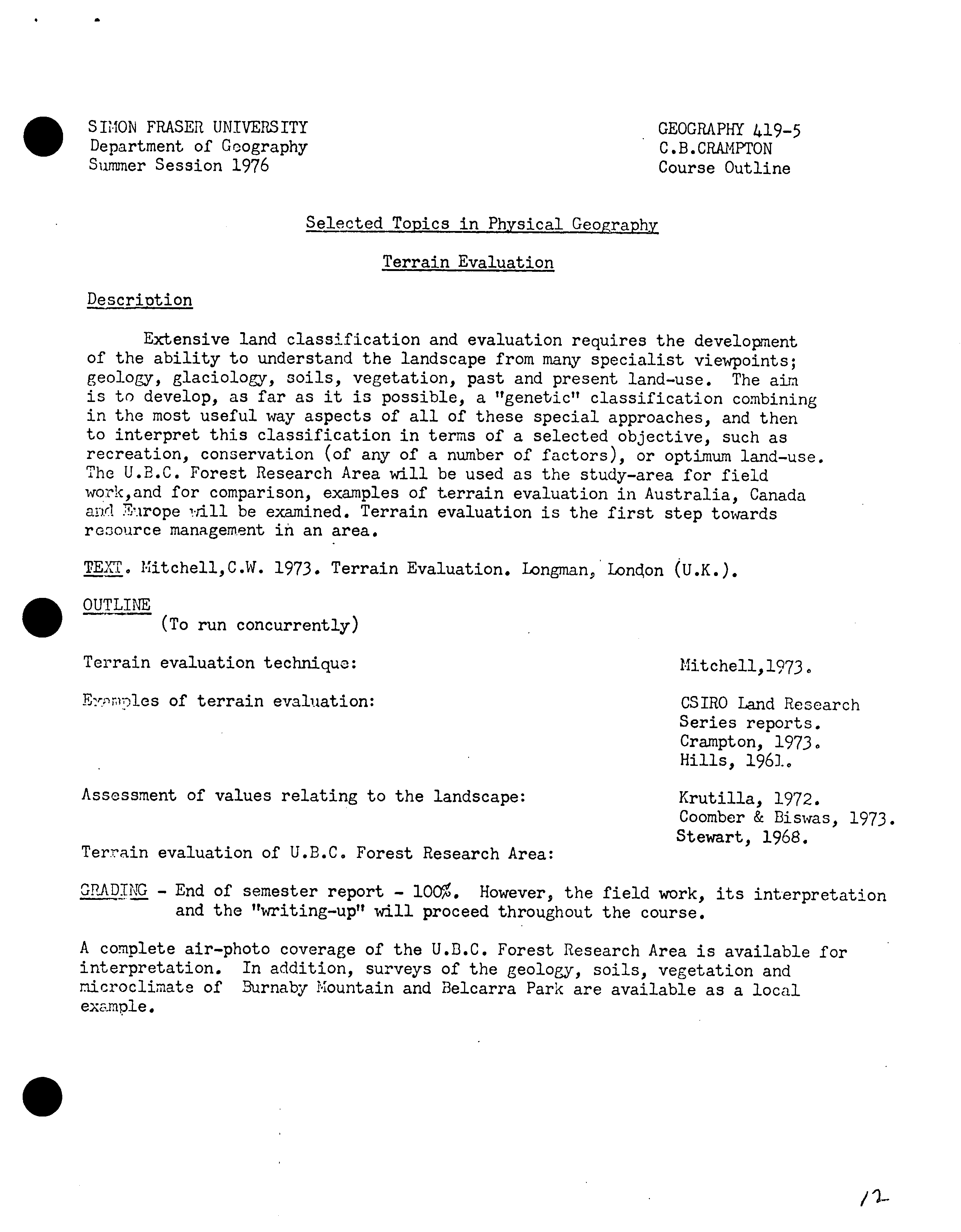
SIMON FRASER UNIVERSITY ?
GEOGRAPHY 419-5
Department of Geography
?
C.B.CRAMVrON
Summer Session 1976
?
Course Outline
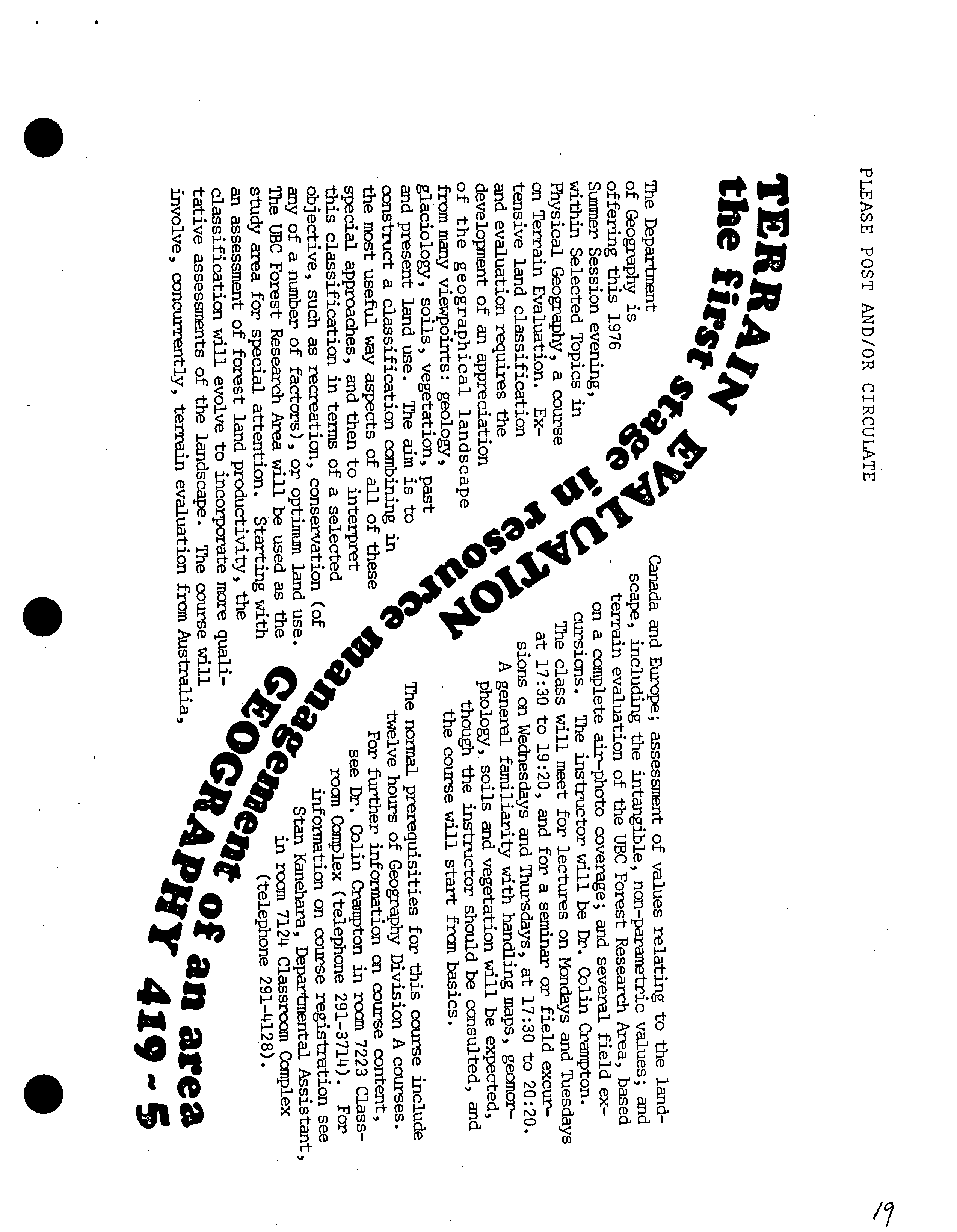
Selected Topics in Physical Geography
Terrain Evaluation
Description
Extensive land classification and evaluation requires the development
of the ability to understand the landscape from many specialist viewpoints;
geology, glaciology, soils, vegetation, past and present land-use. The aim
is to develop, as far as it is possible, a "genetic" classification combining
in the most useful way aspects of all of these special approaches, and then
to interpret this classification in terms of a selected objective, such as
recreation, conservation (of any of a number of factors), or optimum land-use.
The U.B.C. Forest Research Area will be used as the study-area for field
work,and for comparison, examples of terrain evaluation in Australia, Canada
and 'flrope rill be examined. Terrain evaluation is the first step towards
resource management in an area.
TEXT. Mitchell,C.W.
1973.
Terrain Evaluation. Longman,Loncon (U.K.).
OUTLINE
is
(To run concurrently)
Terrain evaluation technique:
?
Mitchell,1973.
Elcs of terrain evaluation:
?
CSIRO land Research
Series reports.
Crampton, 1973.
Hills, 1961.
Assessment of values relating to the landscape:
?
Krutilla, 1972.
Coomber
&
I3iswas,
1973.
Stewart, 1968.
Terrain evaluation of U.B.C. Forest Research Area:
GRADING - End of semester report - 1O. However, the field work, its interpretation
and the "writing-up" will proceed throughout the course.
A complete air-photo coverage of the U.D.C. Forest Research Area is available for
interpretation. In addition, surveys of the geology, soils, vegetation and
microclimate of Burnaby !ountain and Belcarra Park are available as a local
example.
S
/ 'L-
.
?
Material on Reserve
C.S.I.R.O., 1963, General Report on the Lands of the Hunter Valley. Land
Research Series No. 8. And all other Land Research Series Reports.
Melbourne, Australia.
Crampton,C.B. 1973. Landscape survey in the Upper and Central Mackenzie Valley.
Environmental-Social Committee, Northern Pipelines, Task Force on
Northern Oil Development, Report
No.73-8.
(I have additional copies).
Coomber,N.H. and Biswas,A.K.
1973.
Evaluation of Environmental Intangibles.
Genera Press, New York.
Hills,G.A. 1961. The ecological basis for land use planning. Res. Rep. No. 46,
Ontario Dept. Lands and Forests, Research Branch.
Krutilla,J.V. ed. 1972. Natural Environments. John Hopkins University Press,
Baltimore and London.
Mitchell,C.
1973.
Terrain Evaluation. Longman, London.
Stewart,G.A. ed. 1968. Land Evaluation. Macmillan of Australia,
S
13
S
1^1
P1 )POSAL FOR A NEW COURSE "TERRAIN EVALUATION" IN THE DEPARTMENT OF GEOGRAPHY
C.B.Crainpton
During
the
Sumner Session of 1976 a new course "Terrain Evaluation" was
offered under the title of Geography 419 "Selected Topics in Physical Geography".
The Coifrse Outline
ad advertising circular have been appended. An end-of.somester
course
evaluation by the students supported impressions gained during teacher..
student interaction thi'oughout the session that while most students thought
the course was skewed towards the difficult pole, it was a challenging course
with the final assessment being closely related to the effort that they had
been prepared to put into the course. In order to complete the course within
on semester it :was reccssary to provide the students with some basic
distribution information , and the trial run of Terrain Evaluation during
the Summer Session enabled me to assess how much of each
-
kind of information
it
was necessary to provide. Under pressure
of
the course I now have a complete
sot of maps providing all this basic information, and
'I
have a much better
Idea
of
what kinds of Intpretation can
be
made
of
the chosen study area.
Terrain
Evaluation has to be
a 400
level
course since
it depends upon
the
student having a
working knowledge of all aspects of physical geography,
:
l ncluding geology, geomorphology, soils, biogeography, climatology and
cartography, with the final interpretation being
considerably enhanced by a
reasonable familiarity with economic and cultural geography. To the extent
that terrain evaluation demands a very wide base knowledge,
it is
underttandable
that many students found the course difficult rather than moderately easy,
To help offset this
difficulty, the earlier lectures were occupied with reviews
of
the required prerequisite courses, a necessary procedure since
it
is not
just
the knowledge
from
these prerequisite courses that is needed, but an
Ability to
think
and assess in an interdisciplinary sense. This need to
think
gcographically
during any terrain
evaluation,
rather
than consideration of
one
srocialism in the
broad
field of geography, is offered as one of the most
5.miortant
attributes of the course. Experience outside geography
can also be
brought usefully
into
terrain evaluation. The other important attribute of
the course is the job opportunities it opens to students since it is, as
the
advertising
circular
states, the
first
stage in land resource management of
an
area. Currently many
environmental studies are being undertaken by
Governmental
•
?
aid consulting agenci-s, and an aptitude in terrain evaluation, coupled
with whatever happens to be the students preferred special field, enables
the student to assess an area within the time and financial constraints set.
Terrain evaluation has the virtue of being a highly flexible technique, the
scale of orerations being related directly to the constraints.
The U.B.C. Research Forest Area was chosen as the study area since
some information was already available for interpretation. For example, stand.
information was available, yielding cover maps, and from which I calculated
and drew up productivity maps for douglas fir, western hemlock and red cedar.
Some soil and geomorphic information was already available, though additional
survey work was required in order to draw up maps showing the distribution of
s an1 surficial geomo
.
rphology, The geology was extracted from maps produced
by the Gsological Survey, The Research Forest also has a dramatic history
of logging and mining, and relics of this early activity are scattered across
the land surface, for example in the form of an abandoned mine and an extensive
system of abandoned railways, The Research Forest is financed entirely by
logging revenues, and some past cutting practices have been distinctly bad,
40
/n air-photo coverage for stereo work, and an air-photo mosaic are available
for the area, aiding in the assessment of past and present logging practices
and in the assessment of the distribution of soils, surficial geomorphology
and hardrock geology. The U.B.C. Research Forest was the most convenient area
for utilization in the first terrain evaluation course, especially since it
is so close for field work, but it is intended, to survey other areas for use
in future courses.
Within the constraints of time and money, terrain evaluation involves,
first, the combining of all the physical factors of the landscape into one
map showing the distribution of terrain units, each composite unit involving
vegetation, geomorphology, geology and soil characteristics. This process
involves judgement, the usefulness of which will, of course, increase with
experience. The generalization required is probably the most difficult part
of the course, partly because its usefulness is not apparent until near
the
end of the course when the final land-use interpretation is made of what was
originally an impossibly complex natural landscape. My own terrain evaluations
in ;he Mackenzie Fiver valley and in northern B.C. are useful in this respect
(es. Crampton,
1975),
/
Extensive land classification interpreted from the observed vegetation
and landforin relationships has been undertaken in several countries i eg. in
Crnada by Hills
(1961), and in Australia and New Guinea by the Commonwealth
c:Untific and Industrial Research Organization (CsIRO
197
0
0
1
973).
The ajri
has 1"een to raidJ.y Identify and classify ecologically different parts of a
large land arca
0
The landscape unit generally shown on a map has been called
the Land System, which is conceived as defining a recurring pattern of landforrns,
soils and vegetation normally recognizable in air photographs (Mitchell,
1973),
F27Ic103 (n Ctctrart, 1968) assessment of landscape mapping In the Hunter Valley
of Mew South Wales, Australia (Stow et al., 1963)
9
illustrates the general
uscfulness of "his style of survey for regional planning, influencing the planned
d:.stribution of farm and forest land, and the extension of urban areas.
With
prretical objectives, landform-vegetation patterns have been mapped extensively
in Jordan and neig1*eurin areas (Mitchell,
1973).
There are examples in the
pui.Ishod literature where the disciplined simplification of the legend has not
been achieved, and great accuracy has been bought at the cost of any effective
use of the maps by the layman.
•
?
?
The unit of subdivision of the Land System has often been called the Land
Facet which, according to Mabbutt (in Stewart, 1968) is characterized by an
unbroken continuity of internal properties that the Land System cannot have
and which, by implication, is based on much more detailed ground inspection.
Land Systems can be conveniently grouped into what may be called Land Region
on the basis of selected common attributes. Land Regions, with Land Systems
and Land Facets provide a possible three-level stratification for a biophysical
lard classification.
Once the physical landscape has been simplified into a three-tiered
structure of terrain units, the other important attribute of terrain evaluation
becomes apparent. It is now possible to interpret this map in terms of, for
example, optimum land-use, the precise meaning of "optimum" depending upon
rhether the objective is weighted In favour of financial, conservational or
recreational objectives. All summer students found this the most stimulating
pert of the course, as the true purpose of the exorcise became apparent only
at this stage,. For example, areas best suited to providing logging revenues
for supporting
the Research Forest can be separated from areas best protected
VA
a containing trails along water ways and up on to alpine meadows. Areas
have to be set aside for forestry research, and there is the problem concerning
the possibility of reopening the Viking Mine if copper prices rise sufficiently,
Urban expansion is another
consideration
that requires attention. These and
many other "Best landuse" evaluations are firmly based on the physical
landscape. There is the opportunity for the student to introduce any special
approach that he desires, based on other courses he/she is reading at the
University. The several field trips into the study-area allow the student to
examine the land-based features, and to appraise the intangible, non-parametric
values relating to the landscape. Terrain evaluation helps relate the physical
landscape to people and their aspirations (Coomber and Biswas,
1
973; Krutilla,1972),
References
Crainpton,C,B.
1
975. landscape mapping in the Mackenzie River Valley. Arctic,
28, 284-294,
Mitchell, C.
1
973.
Terrain Evaluation, Longman, London.
CSIRO,
1973.
Land-form types and vegetation of Eastern Papua. Melbourne,
40
?
OrganizationCommonwealth Scientific and Industrial Research
Organization (Land Research Series No, 32).
__.1970. lands of the Mitchell
;
Normanby Area
l
Queensland. Melbourne,
Australias Commonwealth Scientific and Industrial Research Organization
(Land Research Series No, 26).
Hills,G,A. 1961. The ecological basis for land use planming. Torontos Ontario
?
Department of Lands and Forests (Research Report Mo, 46),
Mabbütt, J,A, 1968 Review of concepts of land evaluation, In Stewart, G. A. (Ed.),
Land Evaluation, Sydney, Australia, Macmillan, pp.11-28.
Renwlck,C,C, 1968. Land assessment for regional plannings the Hunter region of
N.S.W. as a case study in land evaluation, In Stewart,G,A. (Ed,),
Land Evaluation. Sydney, Australias Macmillan, pp.
171-9.
Story,R,et_a].,, 1963, General Report on the Lands of the Hunter Valley,
Melbourne, Australia, Commonwealth Scientific and Industrial
Research Organization (Land Research Series No, 8),
/7
Coomber,NH. and
Biswas,A.K,
1973,
Evaluation of Environmental intangibles.
Genera Press, New York,
ICrutIlla,J.V,
W.
1972.
Natural Environments, John Hopkins UniverIty Press,
Baltimore and London.
0
Ik
rt
4lI
?
f4 04
WPI
IOU
CD ?
?
CD l-' • (D ?
.
CD I-.U)
CD
?
1-iDC)
?
H.I O)
-I--
?
'I
S
?
:i
wi-.
?
^
j CD ?
rf.a
cnqOO
i•t1O
?
<
?
O1JH
?
-iPiCDi
?
-.r$-
?
d ?
(DD
lb
?
Ef)
0)
I-Jn
?
J.0JH ?
.J.CD<tO
?
-
?
O'ti
tn<
CD ?
CD
9
!
dU
1
,
0 ?
ot
!
r+
F-'
I;
?
U)
r+
rf ?
1-J;;q ?
.
0 ?
U)
(
D
(D
ah.
0 CD
•
CD I-'•
?
'-'1 ?
rF
CD
0)"
CD
r1
'a
0
1
U'
Pt
Cl)
t,1
0
C/)
z
0
0
C)
tyl
S
__1 ?
iCD-'E-'•
(U (US
Ap
CD ?
IV
ci. ?
i-•O .
0
00 u
B F"
r
0
h7ir1
M
(D ?
0, ?
O1
(D
rt
(D
U)
?
0
CD
cn
rFO0
g .
CD pjoq•
CD
4LO
.ICDCfl
ID
ciS CD I-
P .
Q.
?
CD
CD
?
'• F-Pj"
0) 1-'<
S
Ho-' <iH'
-h
CD ?
CD 0(0
?
co
?
g
cp
?
i1
,Pur
0)10)
RD
H
?
EJ ?
ID
0)
0)cCD
(D 'a
0g
CD
CD
CDO
i
clj
?
r\)0
?
er ?
F-'
SD
?
01
I(DQ
D
0)
/7
a ?
JC- .Ti
TITLL
O\R'/
SENATE COMMITTEE ON UNDERGRADUATE STUDIES
p..P P, !
-
N 0/y,
.
Calendar
c-.
Information
At[,r&vIation Code:
Geog. Course Number
Title of Course: Regional Planning I
Culettdar Description of
Course: ?
As now:
Department
:Geography
Credit
hours:
5
Vector: -3-2—b
Concepts and theories of regional development and environmental planning;
the spatial component of regional planning problems goal formulation,
process and implementation.
Nature of
Course
Lecture and seminar.
Prerequisites (or special instructions):
?
As now:
At least 60 credit hours including 12 hours of courses from
Geography Division A.
What
course (courses), if any, is being dropped from the calendar if this
course
Is
approved:
None
2.
Scheduling
How
frequently will the course be offered?
Once a year.
Semester in which the course will first be
offered?
Fall 1977
Which of your
present faculty would be available to make the proposed offering
•
ossible?
J.W. Wilson, M.L. Barker, S.T. Wong
3.
Objectives of
the Course ?
-
THIS IS A TITLE CHANGE ONLY.
4. Budgetary
and Space Requirements (for information only)
What
additional resources will be required in the following areas:
Faculty
Staff
THIS IS A TITLE CHANGE ONLY.
Library
Audio Visual
Space
Equipment
5. Approval
Date;
_k4, %
.
u g
(97
S
*&th.L&.u<
Department Chairman
&,.
!7G
?
7/7 (
fr4r(j(,cj
Dean
?
Chairman, scus
SCUS
i3-34b:--
(When completing this form, for instructions see Memorandum SCUS
73-34a.
"-.t I
?
course
outline).
Oct. 173
Sim
in Fraser University
?
Geography
443
Deprtment of Geography
?
J.W. Wilson
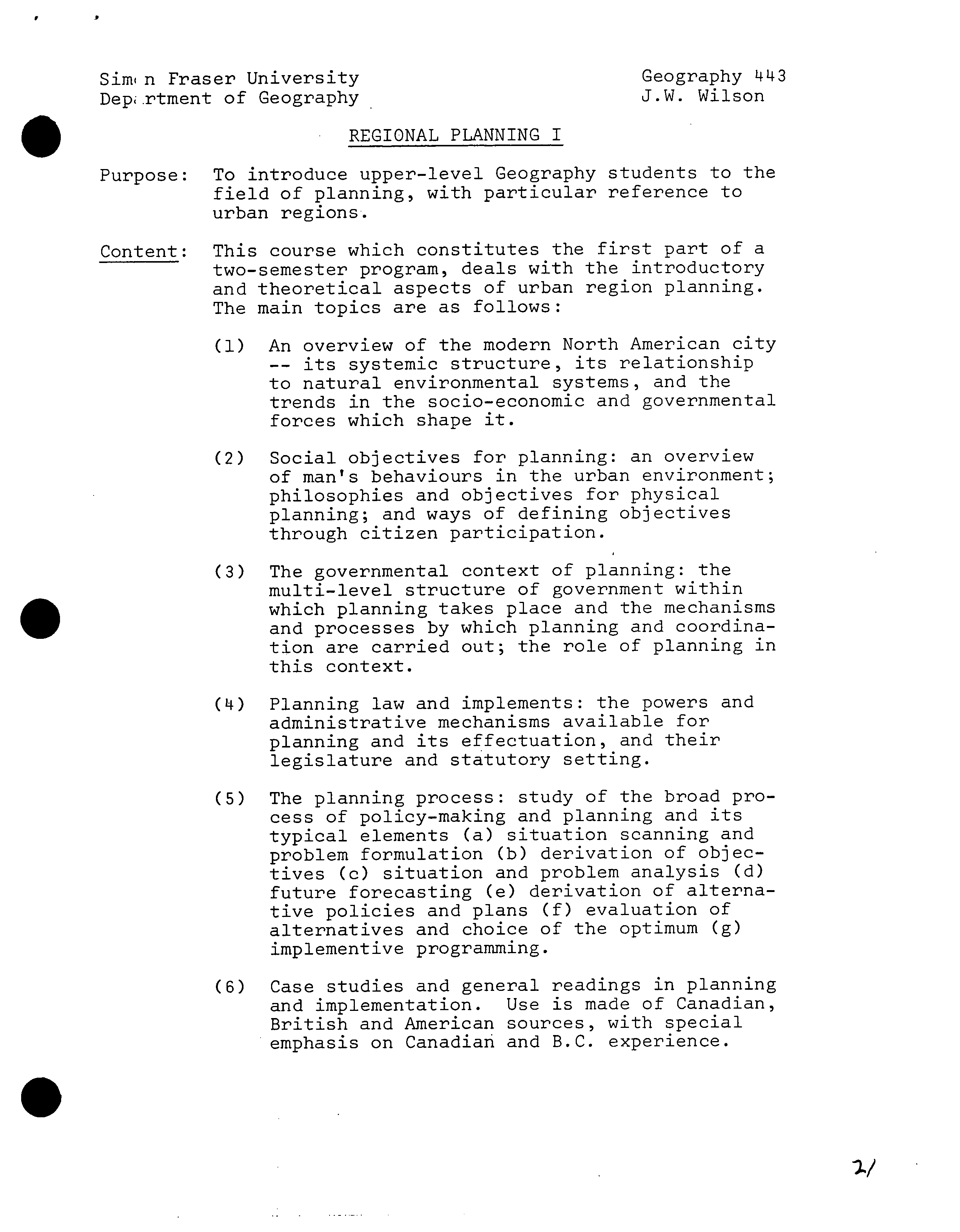
REGIONAL PLANNING I
Purpose: To introduce upper-level Geography students to the
field of planning, with particular reference to
urban regions.
Content: This course which constitutes the first part of a
two-semester program, deals with the introductory
and theoretical aspects of urban region planning.
The main topics are as follows:
(1)
An overview of the modern North American city
-- its systemic structure, its relationship
to natural environmental systems, and the
trends in the socio-economic and governmental
forces which shape it.
(2)
Social objectives for planning: an overview
of man's behaviours in the urban environment;
philosophies and objectives for physical
planning; and ways of defining objectives
through citizen participation.
(3)
The governmental context of planning: the
multi-level structure of government within
S
which planning takes place and the mechanisms
and processes by which planning and coordina-
tion are carried out; the role of planning in
this context.
(LI)
Planning law and implements: the powers and
administrative mechanisms available for
planning and its effectuation, and their
legislature and statutory setting.
(5)
The planning process: study of the broad pro-
cess of policy-making and planning and its
typical elements (a) situation scanning and
problem formulation (b) derivation of objec-
tives (c) situation and problem analysis (d)
future forecasting (e) derivation of alterna-
tive policies and plans (f) evaluation of
alternatives and choice of the optimum (g)
implement ive programming.
(6)
Case studies and general readings in planning
and implementation. Use is made of Canadian,
British and American sources, with special
emphasis on Canadian and B.C. experience.
0
-2-
I
S
Study
Materials: On account of its scope and purpose, the course
leans heavily on excerpted materials drawn mainly
from the journals and papers of the Canadian
Institute of Planners, the American Institute of
Planners and from reports and plans of government
agencies at all levels. Specific use is made of
Managing Decisions; the strategic choice approach,
Allen Hickling, Mantec Publications, 1974;
Regional Planning; a comprehensive view, Allen and
Morgan, Halsted Press and Wiley and Sons, 1975; and
With man in mind, Perrin, M.I.T. Press, 1970.
.
SENATE COMMITTEE ON LJDERC!ADUATE STUDIES
?
NEW COURSE PROPOSAL FORM
Calendar Information
?
Departmeiit
.Geography
Atibreviation Code:
Geo_g..
Course Number :'l'-ttt
?
Credit Hours: 5
?
Vector:_j
Title
of
Course:
Regional Planning II
Calendar Description of Course:
The practice of regional planning is approached through case and
workshop studies of real-life situations.
Nature
of Course
Lecture, seminar, laboratory
Prerequisites (or special instructions):
?
fc ?
IJ
At least 60 credit hours including 12 hours of courses from Geography
Division A; Geog. 361 is recommended.
What
course (courses), if any, is being dropped from the calendar if this
course is
approved:
None
2. Scheduli ng
Row
frequently will the course be offered?
?
Once a year
Semester in which the course will first be offered?
?
Spring
1978
Which of
your present faculty would be available to make the proposed offering
possible?
J.W. Wilson, J.T. Pierce
Objectives of the Course
To introduce upper level Geography students to the practice of
planning with particular reference to urban regions applications.
4. iudgetary
and Space Requirements (for information only)
What
additional resources will be required in the following areas:
Faculty
?
An urban-regional planner has been hired by the University.
Staff ?
None other than normal for registration and preparation of
Library ?
course materials.
Normal growth of Library.
Audio
Visual.
Overheads.
Space
?
Normal classrooriis
Equipment ?
Other than cartographic supplies
($50
per semester) nothing
5. Approval ?
is required.
Date:
4ôV (9 07
?
7 Z-76
.
7 /
•
Department Chairman
?
Dean
?
Chairman,
scus
SCUS /3-34b:-
(When completing this form, for instructions see Memorandum
SCUS 73--34i.
course outline).
Oct. '73
S:mon Fraser University
?
Geography 4XX
Dpartment of Geography ?
J.W. Wilson
REGIONAL PLANNING II
Purpose: To introduce upper-level Geography students to the
practice of planning with particular reference to
urban region applications.
Content: This course, which constitutes the second part of a
two-semester program, concentrates on practical
application of the concepts studied in Geography
413.
It is centred on case studies and workshops focussed
on a variety of realistic situations and problems
derived mainly from the Lower Mainland region.
p
is
The case study materials are drawn from the follow-
ing:
(1)
The works of the Lower Mainland Regional Planning
Board, notably the Official Regional Plan and the
technical studies which preceded it.
(2)
The works of the Planning Department of the
Greater Vancouver Regional District, notably
the Liveable Region Plan and the technical
studies which preceded it.
(3)
The published reports and planning studies of
municipal and other agencies, both urban and
rural, especially in British Columbia but also
in other parts of Canada.
The workshops focus on adjacent areas which can
easily be inspected in.the field and deal typically
with problems of land use and development, transporta-
tion, services and utilities and invironmental im-
pact and the application of a logical planning pro-
cess to the resolution of these problems. Particular
attention is paid to the derivation of planning
objectives and the testing of alternative plans and
policies.
Sources ?
Basic data for workshop use are obtained from
and ?
census and other governmental sources and from
Materials: the files of the municipality under study.
Materials for lecture and seminar purposes, as
well as for application to workshop problems are
taken mainly from the following:
0
-2-
Regional Planning: a comprehensive view,
Alden and Morgan, Wiley & Sons, 1974;
Managing Decisions and the strategic choice
approach, Hickling, Mantec Publications,
1973;
Selected articles and special reports from
The Journal of the American Institute of
Planners and Plan Canada (the Journal of
the Canadian Institute of Planners).
L
.
is
A ?
1•
SENATE COMMITTEE ON UNDERGRADUATE STUDIES
?
.fDDP\J_OLI
NEW
COURSE PROPOS1\L FORM
Calendar Information
?
Department:
Geography ?
-.
Atb rcv
LIIt
ion
Code
Geo. Course Number
.
: 470
?
Credit Hours:
5
?
Vector:
?
Title of Course: The Geography of Western Canada.
Cniecidar Description of Course:
A regional geographic interpretation of British Columbia and the
Prairies. The physical environment, population, land tenure,
regional resource problems, economic development and the settlement
process will be examined to explain the geographic character of Western
Canada.
Nature of Course
LecTsre/
Prerequisites (or special instructions):
At least 60 credit hours including Geography 262 and 12 hours of
courses from Geography Division A.
IThat
course (courses), if
any,
is being dropped from the calendar if this course
iS
approved: ?
None
2. Schedu1in
ho'..' frequently will the
course be offered?
Once every year and one half years.
Semester in which the course will first be offered?
Which of your present faculty would be available to make the proposed offering
oss
0P.M.
Koroscil, E.M. Gibson, M.L. Barker, G.A. Rheumer.
Objectives of the Course
?
-
To provide a detailed geographic analysis of one area of Canada.
This is not possible in Geography 462.
4. Budgetary
and
Space Requirements (for information only)
What
additional resources will be required in the following areas:
Faculty ?
Other courses will be offered slightly less frequently.
Staff
?
None other than normal for registration and preparation of
Library
?
Normal growth of Library holdings.
?
course materials.
Audir'
Visual Overhead projector.
Space ?
Normal classroom.
Equipment: ?
None.
5. Approval
Date:
?
191
tql&_
4&4'a"C. 444
•
Department Chairman
&t.
7/7C
)LIAO
Dean
'<^
C
.7 .
-
7
/7 6
C
hairman, SCS
SCUS
/3-34b:- (When completing this
form,
for instructions
-
see Memorandum SCUS
73--34a.
'
\'3ch1
course outline).
Oct ?
73
V
Simn Fraser University
?
P.M. Koroscil
Dep Lrtment of Geography
?
Geography 4XX-5
S
The Geography of Western Canada
A selected regional geographic interpretation of British
Columbia and the Prairies. The physical environment, population,
land tenure, economic development and the settlement process
will be examined to explain the geographic character of Western
Canada.
Required Texts
J. Lewis Robinson (ed.), Studies in Canadian Geography, British
Columbia, University of Toronto Press,
1972.
P.J. Smith (ed.), Studies in Canadian Geography, The Prairie
Provinces, University of Toronto Press,
1972.
Course Structure
There will be a two-hour lecture and one three-hour seminar
each week.
Course Grade
The seminar will account for
33-1/3%,
a major term paper for
33-1/3%,
and a normal examination will account for the remaining
33-1/3%.
Topics to be Covered
1.
The Physical Environmental Basis of Western Canada
Areal Differentiation
2.
Land Tenure, a method of survey and inferences of political
development.
3.
The Peopling of Western Canada, Characteristics and Areal
Differentiation
4.
Land Use, Resources, and Economic Development. Areal
Differentiation
5.
Settlement Process, Areal Pattern and Form
6.
Summary of the geographic character of Western Canada.
Differentiation within the Area.
Partial Bibliography
. ?
A.H. Paul, E.H. Dale, and H. Schlictmann (eds.), Background Papers,
Southern Prairies Field Excursion Department of Geography,
University of Regina, Regina Saskatchewan,
1972.
2.7
-2-
Apr
P.M. Koroscil
Geography
11XX-5
J.L. Tyman, By Section, Township and Range, Studies in Prairie
Settlement, Brandon, Manitoba,
1972.
M.J. Matheson, The Semi-Arid Area of Saskatchewan, Geographical
Branch, Dept. Mines, Technical Surveys, Ottawa,
1959.
J.H. Richards and K.I. Fung (eds.), Atlas of Saskatchewan, University
of Saskatchewan,
1969.
D. Kerr, "The Physical Basis of Agriculture in British Columbia",
Economic Geography, Vol.
28, 1952.
R.R. Kreuger, "The Physical Basis of the Orchard Industry of B.C.",
Geographical Bulletin, No.
20, 1963.
G. Taylor, "B.C. : A Study in Topographical Control", Geographical
Review, Vol.
32, 1942.
T.R. Weir, "The Physical Basis of Ranching in the Interior of B.C.",
Geographical Bulletin, No.
3, 1953.
G.C. Aitken, "The Progress of Survey and Settlement in B.C.",
Geographical Review, Vol.
15, 1925.
.
N.L. Nicholson, "Regions in Southern Alberta", Revue Canadienne de
Geographie, Vol.
8, 195.
J.R. Rogge and D.W. Moodie, "Selkirk, Manitoba an Area of River-
Lot Settlement in the Red River North of Winnipeg" Die Erde,
Vol. 101, 1970.
B.G. Vanderhill, "The Farming Frontier of Western Canada,
1950-1960"
Journal of Geography, Vol.
61, 1962.
Selected articles from the Alberta Geographer, Dept. of Geography,
University of Alberta.
J.S. Dunlap, "Changes in the Canadian Wheat Belt,
1931-1969",
Geography, Vol.
55, 1970.
Mackintosh, W.A., and W.L.G. Joerg (eds.),
1934
"Prairie Settlement:
The GeograDhical Setting' vol. 1 in Canadian Frontiers of Settlement
(Macmillan Company of Canada, Toronto).
Watts, F.B.,
1960
The Natural Vegetation of the Southern Great Plains
Canada, Geographical Bulletin, 14:
25143.
Weir, Thomas R.,
1960
Economic Atlas of Manitoba (Department Industry
and Commerce, Winnipeg).
Szabo, M.L.,
1965
Depopulation of Farms in Relation to the Economic
Conditions of Agriculture on the Canadian Prairies, Geographical
Bulletin
7
(314):
187-203.
-3 -
P.M. Koroscil
Geography 4XX_5
Chapman, J.D.,
1952
The Climate of British Columbia, Transactions
of 5th B.C. Natural Resources Conference: 8-54.
Holland, S.S., 1964 Landforms of British Columbia, B.C. Dept. of
Mines and Petroleum Resources, Bull. !!8.
Barr, B.,
1972
Has the Prairie Region Solved Its Economic Problems?
in R. Leigh (ed.), Contemporary Geography: Research Trends
(Vancouver: Tantalus): 111-21.
Economics and Statistics Branch,
1970
Summary of Economic Activity
in British Columbia, 1970 (Victoria: Department of Industrial
Development, Trade and Commerce).
C
0