SiMON FRASER UNIVERSITY
S'i
./2y
MEMORANDUM
From ..... .....
Q'-c.Qt
?
he .etyi
To .............. ....
MJ?!b...
?
Q$il&-t.€.
?
..................
Cwvt.t.caLwn
?
- ....................
Subject.. ?
G'utdttatiCawu,.....4aLo
,MRM
661-5, 662-5, 633-5
Date. ?
Se.p.tembe.'z.
15.
198.
.
MOTION:
That Sei'uz.tc applwve. and 'LecommeJ'td appkovCl to the
800id, a
.6
et 6otth n
?
/. /2j -
New G.'Ladua-te
Cowe.
Pkopo4cl4,
MRM 661-5, 662-5
and
633-5.
The.oe
new gr..adwvte cowi.i p.'wpo'aLo wee app.'wve.d by the Executive
Committee, Se.ncte. Giiadcuvte. StuctLe,o Committee, at tkeL& meeting on
Aagu-t
31,
1981.
8.'Lyan P.
BeiAne
Dean
o6
G&aduate St.td.Le4
mm!
attacks.
0
MINNO
'-,. ?
-- ?
, - ?
'.-...-..,.: •
C
?
SimVIASU wivmt"
Gr.4.t. Cosr1s Proo..I !.z.
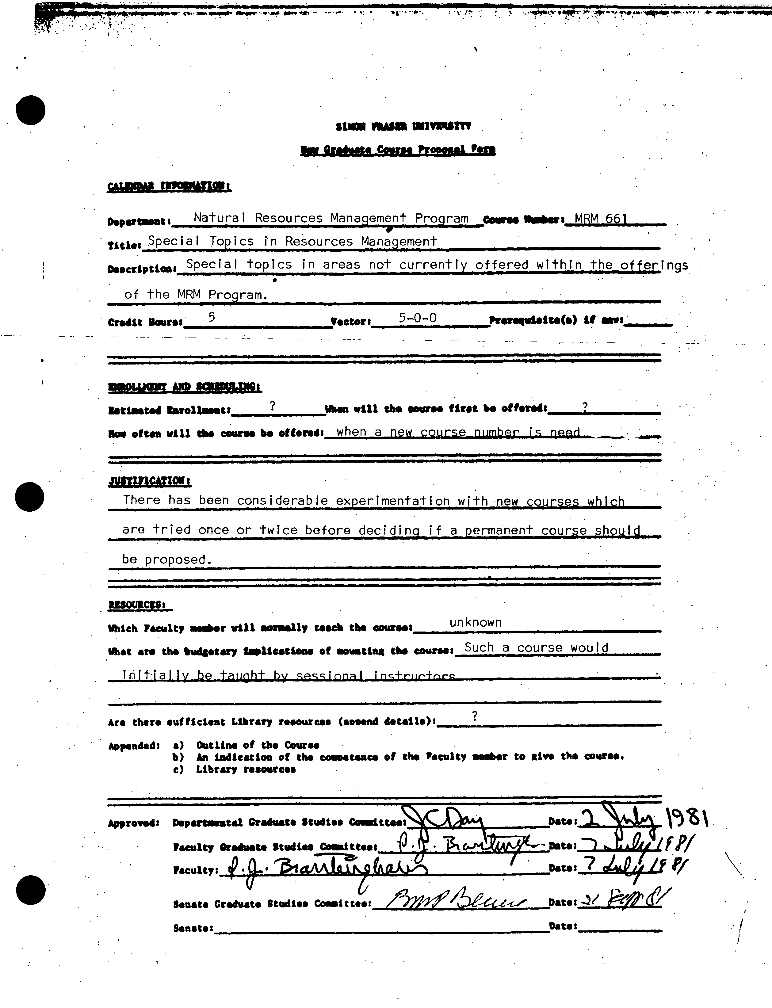
Natural Resources Management Program
coo
p "
?
irs
MRM 661
titus
Special
Topics
in Resources Management -
Descriptions
Special
topics in areas not currently offered within the offerings
of the MRM Program.
Credit Houres ?
5 ?
teeters ?
5-0-0 ?
-
Pr.r.uiait.(.) if ouvi_______
mmowt
MW
Iltiasted isroflassis ?
?w.s
will the oewou first be offends_________________
av often will do coone be off.ds ?
when a new
_course
_number _is_neM
JU$UV1CAT1CN
•
?
There has been considerable experimentation
with •new courses_which
are tried once or twice before deciding if a
permanent course should
be proposed.
Which Faculty ..r will monsily tied the
ommost
_unknown
What
151
tobudgetary tUeattaa. of soustlas the
SuchacoursewouId
initially ?
be tauQht ?
by ?
sccTcnai ?
1nc-I-ruc'+rr-
Are theta sufficient Library resource. (aovoud details)'
?
Appended: ?
a)
?
Outline of the Course
b) ?
An Indication of the c000.tsnce of the Pacolty assr to alve the course.
•
c) ?
Library resources
Approved: ?
Dspartatai Gradoate $tsMt.s Coasittoss
%
Faculty arseist.
Studies _coitte.:
Vacuity:
4
•8-'
'
3IVJrkp(&LZAV-
.
Data:
7 ocPØLf If
Studies Coast
Data:
Scud. Graduate
?
t tie:
Senate:
Oatii_____________
N
I,
7q
?
J
Of
SINDN FRASER UNIVERSITY
New
Graduate Course Pro
pose]. Form
CALENDAR INFORMATION;
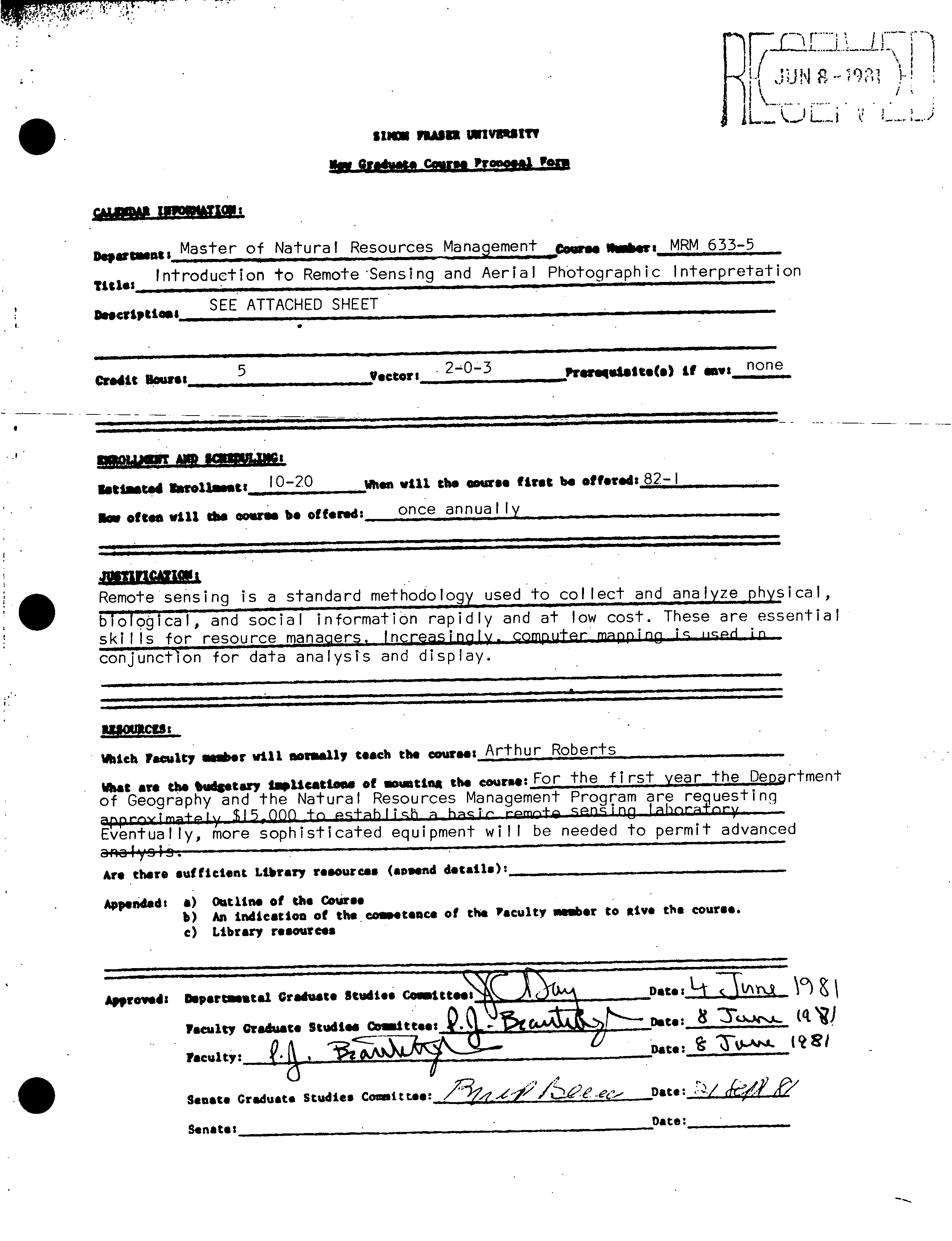
Departesut:
Natura
I
Resources Management Program
course Ierz
MRM
662
Title:
Special Topics in Resources Management
Description:
Special topics In areas not currently offered within the
offerings of the MRM Program
4i
Credit Hour.:
?
5 ?
Vector;
5-0-0 ?
PSflqu1jp.) if envi_______
. ?
.
?
:.
fl
?
'iL
I-.
?
I ?
i ?
!J!
?
-
QLUENT
AID ScHED$Q:
RitlastedEnrollment:_
?
? ?
When
viii
th.
course fits 1s ottarsd,__________________
How often will the cour.e be offered:
when a new course number is needed
JUSTIFICATION:
There has been considerable experimentation with new courses
which
are
tried once or twice before deciding i
.
f a permanent course should be
proposed
tr_
RESOURCES: ?
S
Which Faculty aer will noruafly teach the
couree:unknown
What are the budgetary laplication
g
of mounting the course:
_Such a_ course wou
Id
Initially be taught by sesslonalrfnstructors
Are there sufficient Library resources (append dtdhs)x ?
Appended: a) Outline of the Course
b)
C)
An
Library
indication
resources
of the
?
coapettnes of
the
F
acultY.somber
. .. ?
to
S
g
ive the course.
t
Approved: Departmental Graduate Studies ComeitteeS.\_C
_C4..1
be-to
:.,
.
iA\
P*culty.Graduats Studies Coittee:
_
Date:
.
Faculty:
Dat.:7
Senate Graduate Studies Comoitt.e:/'
?
_
Date:
•
?
:
?
Senate:
Date: ?
____.5.
•4l ?
•,.
fl17_.c!t11ILJI [
1-
,.<t
?
j;ji
J
1k
?
I'
1LJc..-L.L
.
?
stmm
flAIU 1MIVR$ITV
in
Gf•ftII i t rr
C
cvfIS
I,oe
!o
cAurMP ISTI
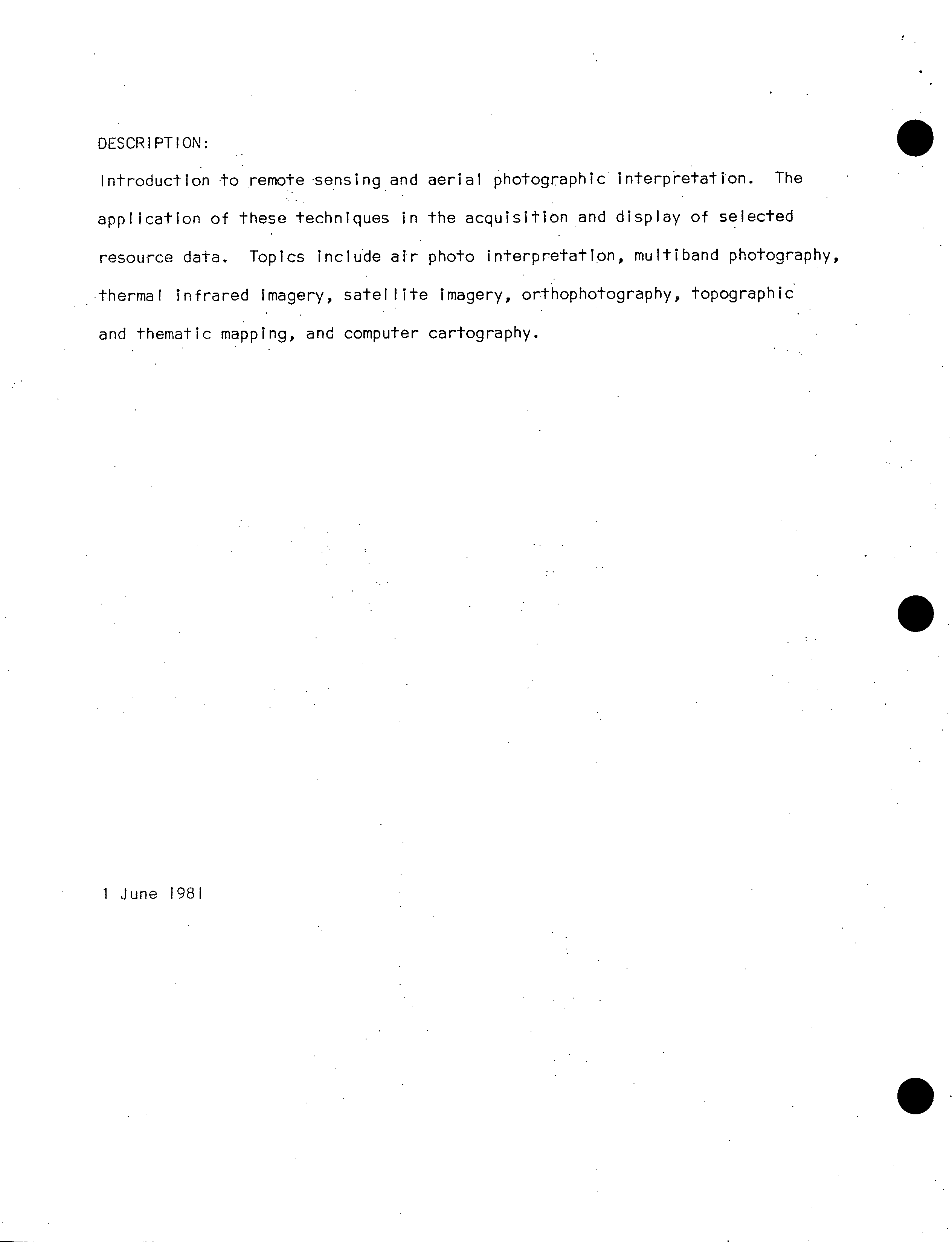
Master of Natural Resources Management
?
MRM 6335
TWOS
_Introduction to Remote Sensing and Aerial Photographic Interpretation
crtptiOS$
?
SEE ATTACHED SHEET
credit Hours:
?
Vsctor:
2 -0 - 3
Prom"ette(e)it
MV1
none
T A ia.ssc'
istir.d
HoroUst:
10-20
?
When will the ouur.e first be offur.d:
82-
I
Im dies will lbs eowne be offered:
?
once annually
S
Juni
Remote sensing
blological, and
skills for reso
con iuncflon for
is a standard method oloy used to collect and analyze physical,
social information rapidly and at low cost. These are essential
a analysis and display.
dch Vacuity m.r will sorasliy
t each
t
he
?
Arthur Roberts
at are the bedstary laplicattose of .ottns
t
he course:
For the first year the Department
of Geography and the Natural Resources Management Progçarn rreuestinq
Eventually, more sophisticated equipment will be needed to permit advanced
aR-1 ys I .
Are there sufficient Library resources (ssesnd details):
Appended' a) Outito. of the Course
b) An indication of the co.tcacs of this vacuity
?
or to tv* the course.
C)
Library resources
,o)\
Approved DspsrtR.stsl Graduate studies Couuuitetss
?
_Date:
L
t_T
p _\
Vacuity Graduate Studies CWMIttest
(
Vacuity: ?
________________________________
.
t\
?
Date:
?
_ ?
('
5
Senate Graduate Studies Committee:
/' _
Senate: __Date: -
DESCRIPTION:
Introduction to remote sensing and aerial photographic interpretation. The
application of these techniques in the acquisition and display of selected
resource data. Topics include air photo interpretation, multiband photography,
thermal infrared Imagery, satellite imagery, orthophotography, topographic
and thematic mapping, and computer cartography.
S
1 June 1981
S.
APPENDIX A
Course Outline
The first half of the course covers remote sensing principles,
instrumentation, and analysis. The second half deals with remote sensing
applications in resource management and will involve student presentations.
A seminar format will be used with lectures and discussionson outlined
topics. Readings will be assigned in advance of the topics and applica-
tions will be oriented towards specific resource interests of the students;
Six practical laboratory assignments. are. includedto familiarize the
students with important basic aspects of applied remote sensing.
2.
S
TOP CS
I. ?
Principles, Instrumentation and Analysis
a.
Introduction to Remote Sensing:
- principles, concepts, and philosophical problems
- scope and importance
- electromagnetic spectrum and atmospheric effects
b.
Aerial Photographic Interpretation:
- properties of panchromatic
'
aerial photography
- principles and procedures for interpretation
- photo mosaics
LABORATORY 1: Introduction to aerial photography: - chracteristics
of the stereo model; drainage interpretation.
C. ?
Visible Spectrum and Photographic Techniques:
- image acquisition, flight planning and equipment
- optical and electronic image analysis
d.
Nonphotographic Optical Sensors:
- measurement and design considerations
- radiometers, thermal scanners, and multspectral scanners
LABORATORY
2:
Planning of aerial photography missions: - inter-
pretational and logistical requirements.
e.
Passive and Active Microwave Systems:
?
•
- theory and applications
- imaging radars
?
side looking airborne radar
synthetic aperai-ure radar
multi-channel radar
•
3.
S.
?
f. ?
Airborne Geophysical Systems:
?
.
• ?
- . aerial magnetometer surveys
- Inductive field electromagnetic surveys
- gamma ray spectrometry
• ?
. - air sampling and miscellaneous techniques
LABORATORY 3: Interpretation of thermal imagery: - contaminant
dispersion and water resource management.
g.
Satellites and Sensors:
Landsat
?
.
Skyiab ?
- ?
-.--- ?
---..--.-. ?
- ?
-.- ?
-.--,-
Seasat ? . ?
. ?
.
Space Shuttle ?
. ?
. . ?
•.
Meteorlogical satellites
? . ?
.-
h. Data Analysis and Ground Truth:
?
. •• ?
. .
- air photo Interpretation and terrain analysis ?
. .
- - computer processing -
?
pattern recognition
spectral analysis-,.
quantative.feature extraction
• ?
.
?
- comparison of qualitative and quantitative techniques.- ••
- ground truth for remote sensing •
?
- •
LABORATORY 4: Terrain analysis: air photo interpretation and
?
•
?
highway route planning.
? -
?
•
?
11'.. Remote Sensing Applications and Resource Management ?
•
I.
?
Remote Sensing in Agriculture and Forestry:
?
•
?
-
?
-
?
- radiation and plant canopies
- - vegetation stress from disease, Insects, and environment
- crop identification ? • ?
-
- ?
-
?
- forest resource management ?
-- ?
• ? •
4.
j.
Geological Applications:
-
photo-geology
• - radar Imagery
- multi-spectral techniques
LABORATORY 5: Basic photogrammetry: - height measurement and timber
volume calculations.
k.
Hydrological Resource Management:
- information requirements and hydrological parameters
- con-t-amInnt dispersion
0 ?
-
-
ground water, sediments and snow melt
?
•
I.. • Oceanography and Remote Sensing
- physical, biological, geological, chemical, andpolitical
considerations
- maritime weather and navigation
?
0
-
hydrographic and coastal applications
-
sea ice
?
0 ? -
-
fisheries and political considerations
LABORATORY 6: Interpretation of colour photography: - water penetration
film and vegetation stress.
?
.•
M.
?
Terrain Analysis and Cultural Applications:
mapping ?
scale and resolution ?
•
• ?
•• ? thematic mapping
•
?
orthophotos
• ?
• ?
computer cartography
- geographical research
?
photogrammetry
• ?
•
?
- ?
temporal considerations -
urban applications
rural applications
,
0
• ?
0 ?
.•
?
developing countries
APPENDIX C
• Library Resources
Alrd,W.J. and S.P. Pierce. 1976. Remote Sensing Data Summary. Ottawa,
Ont.: Environmental Conservation Directorate, Environmental Protec-t-lon
Service, Environment Canada, 5v.
Canada. Energy, Mines, and Resources. 1978. Canadian Advisory Committee
Reports on Remote Sensing. Ottawa, Ont.: Queen's Printer.
Canadian Journal of Remote Sensing, Ottawa, Canadian Aeronautics and Space
Institute, 1975-present.
Cihiar, J. 1978. CCRS Airborne Program Assessment: 2v. Analysis and User
Reports. Ottawa, Ont.: Energy, Mines, and Resources.
Glen, J.W., R.J. Adie and D.M. Johnson eds. 1975. "Symposium on remote,
sensing in glaciology", Journal of Glaciology, Vol. 15, No. 73:1-482,.
IEEE Transactions on Geoscience and Remote Sensing. New York, N.Y.:
'Institute of Electrical and Electronic Engineers.
•
?
.Kogan, R.M., I.M. Nazarov and S.D. Frldman. 1971. Gamma Spectrometry of
Natural Environments and Formations: Theory of the Method Applications
to Geology and Geophysics. Springfield, Ill.: U.S. Department of
Commerce, National Technical Information Service.
Li I lesand, T.M. and R.W. Kiefer.. 1979. Remote Sensing and Image Inter-
?
pretation. Toronto, Ont.: John Wiley and Sons.' '
?
..
•
?
Lintz, J. and D.S. Simonett. 1976. Remote Sensing of Environment.
Don Mills, Ont. : Addison-Wesley.
?
' ' ?
• ?
•
'Leuder, D.R. ' 1959. Aerial Photographic Interpretation: Principles and
Application. New York, N.Y.: McGraw-Hill.
?
.
Meier, M.R. , 1979. "Remote sensing of
'
snow and ice", Technical Papers In
Hydrology, NO. 19, UNESCO.
Photogrammetr-ia. Amsterdam:, Elsevier.-
Photogramrnetric Engineering and Remote Sensing. Falls Church: American
Society of Photogrammetry..
S
2.
Proceedines of the First to Fourteenth international Symposia on Remote
Sensing of Environment. Ann Arbor, Ml.: Environmental Research
Institute of Michigan.
Reeves, R.G., A. Anson and D. Landen eds. 1975. Manual of Remote Sensing.
Falls Church: American Society of Photogrammetry.
Remote Sensing In Canada. C.C.R.S., V.1-V.8. Ottawa, Ont.:. Energy, Mines,
and Resources.
Science. Washington, D.C.: American Association for the Advancement of
Science.
Slama, C.C., C. Theurer and S.W. Henriksen. 1980. Manual of Photograrnrnetry,
?
Fourth Edition. Falls Church: American Society of Photogrammetry.
Smith, J.T. Sr. ed.
?
1968. Manual of Color Aerial Photography, Falls
Church: American Society of Photogramrnetry.
• Thompson, G.E. ed. 1974. "The Applications of Remote Sensing and Benefits
to Canada", Proceedings of the Second Canadian Symposium on Remote
•
?
Sensing. Ottawa, Ont.: Energy, Mines, and Resources.
Thompson, G.E. ed. 1975. Third Canadian Symposium on Remote Sensing.
Ottawa, Ont. : Canadian Aeronautics and Space Institute.
Thompson, K.P.B. ed. 19755. 4th Canadian Symposium on Remote Sensing.
Ottawa, Ont.: Canadian Aeronautics and Space Institute.
Veziroglu, T. N. ed. 1975. Remote.Senslng: Energy Related Studies. Toronto,,
Ont..: John Wiley
'& Sons.
• Way,• D.S.
?
1973. Terrain Analysis:' A Guide to Site Selection Using Aerial
Photographic Interpretation. •Stroudsburg, Penn.: Dowden, Hutchinson,,
and Ross Inc.
?
•
?
•
?
•
Wenderoth, S. and-E. Yost.. 1975. Multispectral Photography. New York, N.Y.:
Science Engineering Research Group, C.W. Post Center, Long Island
' •
University.
?
• •
S
S
0
3.
White, D. ed. 1972. "Resource satellites and remote airborne sensing for
Canada", Proceedings of the First Canadian Symposium on Remote
Sensing. Ottawa, Ont.: Energy, Mines, and Resources.
Zsilinszky, V.G. 1966. Photographic Interpretation of Tree Species in
Ontario. Toronto, Ont.: Department of Lands, and Forests, Queen's
Park.
0